What is recorded here
In level pasture, field undulates gently. In level pasture, field undulates gently. Linear depression (L c. 200m) running NW-SE between enclosure (TS067-013001-) and enclosure (TS067-013002-) identified on aerial photograph (GSI 16.4.1974, R. 515/4) but not visible above ground.
Compiled by: Jean Farrelly
Date of upload: 26 August 2011
The monument record does not grant public access. Check the route and ask the landowner before entering private land.
- What survives
- Recorded monument
Places near here
 Sunday WellHoly well · 831 yd
 Site of Corroge ChurchChurch · 900 yd
 CastleCastle, ringwork · 1164 yd
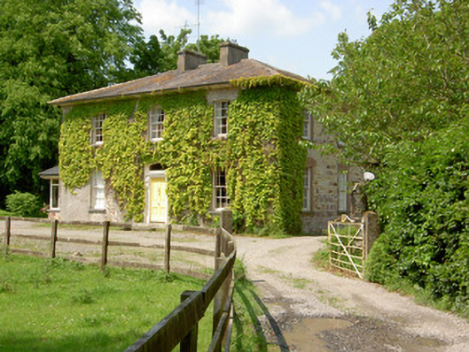 Wolfsden Househouse · 1495 yd
 I.R.A. 3rd. Tipperary Brigade MemorialMemorial · 1.0 mi
 Garranacanty MoatCastle, motte · 1.1 mi
 Kilshane Churchchurch/chapel · 1.1 mi
 European ashEuropean ash · 1.1 mi
 It's a long way to TippereryHeritage attraction · 1.6 mi
 The Maid of ErinMemorial · 1.8 mi
 The RockViewpoint · 2.9 mi
 Christ the KingViewpoint · 3.6 mi