
What is recorded here
From the National Monuments Service (Archaeological Survey of Ireland) record TS067-013003
Places near here
Photo credits
- Maker not stated on source page, www.irelandhighlights.com
- Maker not stated on source page, commons.wikimedia.org
- Maker not stated on source page, en.wikipedia.org
- National Inventory of Architectural Heritage
- Maker not stated on source page, www.dreamstime.com
- Willow, Wikimedia Commons · CC BY 2.5
- Maker not stated on source page, www.ireland.com
- Golfing in Ireland; photographer not stated, Source publisher
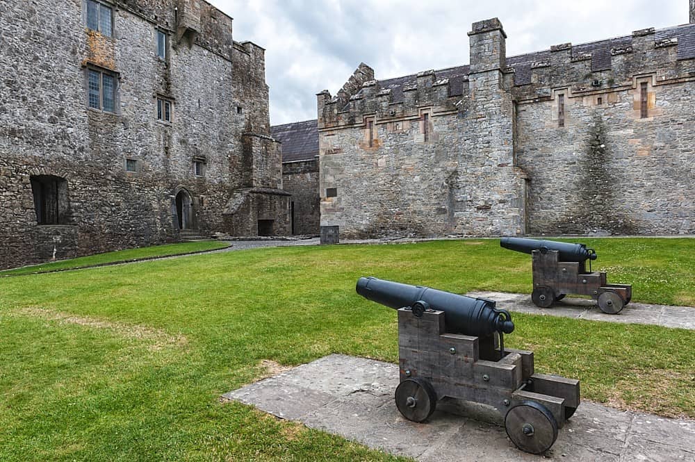 CastleCastle, motte and bailey · 986 yd
Explorer Tom Castle in Corrogemore got dug up by a quarry so thoroughly it’s basically gravel now. It’d write on its dating profile…
 Earthwork in CorrogemoreEarthwork · 1022 yd
Explorer Tom Earthwork in Corrogemore was literally quarried away because someone decided gravel was more important than history…
 Fairy fort / earthen ringfort in CorrogebegFairy fort / earthen ringfort · 1150 yd
Explorer Tom The local sheep think this fairy fort is just a slightly fancy scratching post for their backs. They’d give it two…
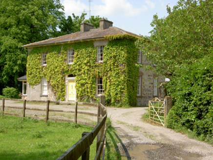 Wolfsden HouseHouse · 1495 yd
Explorer Tom Wolfsden House in Clashavickteery was built on a bargain that probably involved a goat and a promise of classical…
 Saint Michael's CemeteryCemetery · 1.0 mi
Explorer Tom Saint Michael's Cemetery in County Tipperary witnessed a love story that went badly wrong right next to its fence…
 Church (in ruins)Church · 1.0 mi
Explorer Tom Church in Springhouse is playing hard to get on its ridge. Legend says the first owner had an escape route through the…
 Kilshane ChurchObelisk · 1.1 mi
Explorer Tom Kilshane Church is playing hard to get, standing there as a cenotaph next to actual churches like a weird uncle at a…
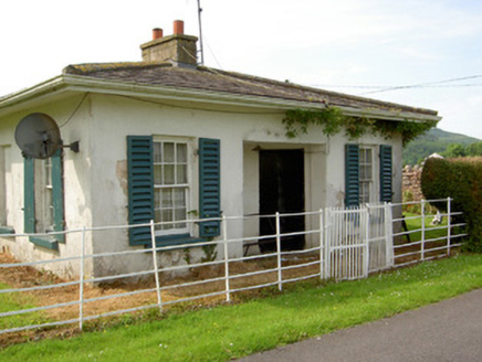 ArraghsleaGate lodge · 1.1 mi
Explorer Tom Arraghslea’s gate lodge has a curved door that looks like it’s trying to smile but mostly just looks confused about its…
 European ash1.1 mi
Explorer Tom European ash in County Tipperary would order a full chippy with extra gravy and a side of chips shaped like its own…
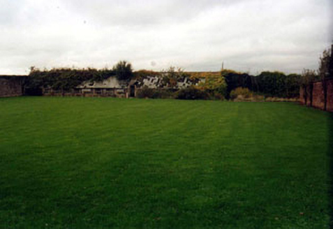 KilshaneWalled garden · 1.1 mi
Explorer Tom Kilshane in Springhouse holds a fake world record for being the most boring walled garden in all of Tipperary County.…
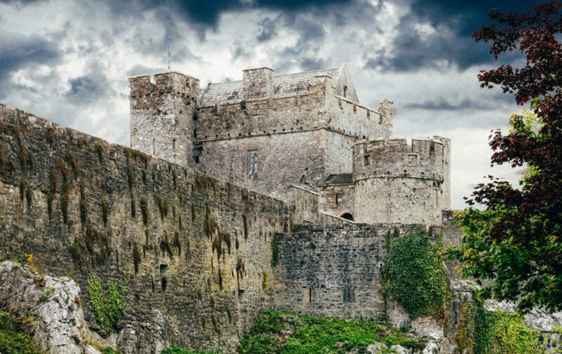 Castle (Site of)Castle, unclassified · 1.5 mi
Explorer Tom Castle in Knockanrawley would cope terribly on a reality show because it’s been destroyed by housing estates. It’s now…
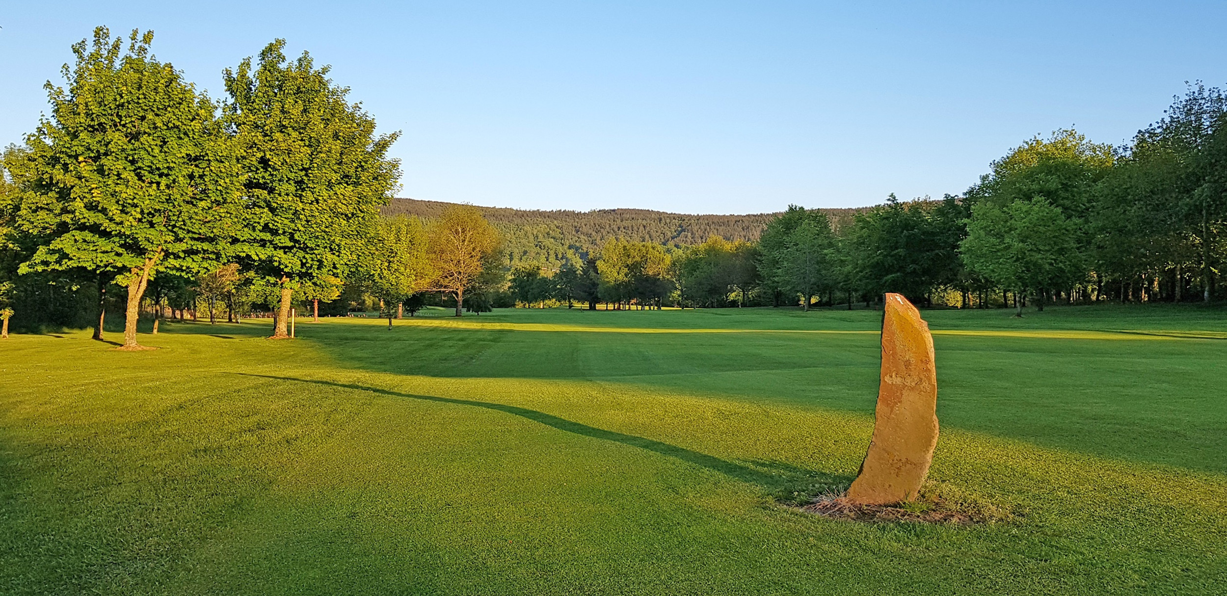 Tipperary Golf ClubGolf course · 1.9 mi
More archaeology and monuments in County Tipperary · All of County Tipperary

What do you know about this place?Tap to add a comment or ask a question