What is recorded here
Cloon Lough lies in the broad valley formed by Knocknacusha mountain at W and Mullaghanattin at E. On low-lying land, less than 200m from the lakeshore at NE, a 20m long stretch of wall is exposed as a result of peat-cutting. It runs E-W, occurs .45m below the present bog surface, and is composed of boulders and intermittent uprights.
The above description is derived from A. O'Sullivan and J. Sheehan (compilers), 'The Iveragh peninsula: an archaeological survey of South Kerry'. Cork University Press (1996), no. 23. In certain instances the entries have been revised and updated in the light of recent research.
Date of upload: 28 July 2013
The monument record does not grant public access. Check the route and ask the landowner before entering private land.
- What survives
- Recorded monument
Places near here
 Parknahooan CaveMan-made underground passage · 1205 yd
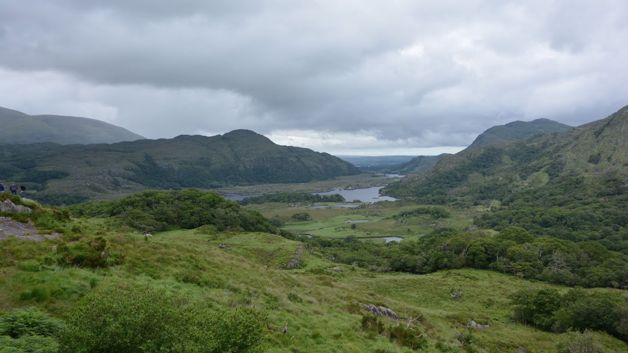 CaveMan-made underground passage · 1240 yd
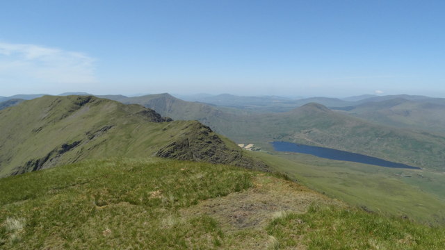 Beann NE TopMountain / peak · 1.6 mi
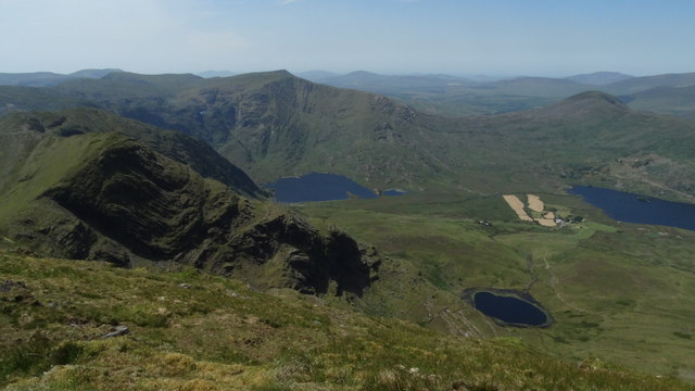 BeannMountain / peak · 1.6 mi
 Ballaghbeama GapViewpoint · 2.8 mi
 Blackstones Bridgebridge · 4.9 mi
 RoadRoad, road/trackway · 5.7 mi
 CarrauntoohilMountain / peak · 6.9 mi
 De Gaulle MemorialMonument · 7.4 mi
 Sneem Commemoration PlaqueMemorial · 7.4 mi
 Devil's Ladder RouteWalking route · 8.0 mi
 Crash site of USAAF DakotaHeritage attraction · 8.6 mi