What is recorded here
This pre-bog wall extends for a short distance along the S bank of the Owenroe river, N of Mullaghanattin. It extends WSW for a distance of 20m from the edge of the river bank, where it turns S for a further 5m. It is 1m wide and is formed of a single line of boulders, which protrude .5m on average above the ground surface. Adjacent, in a peat-cutting at SW, is a similarly composed 21m long stretch of walling. It lies approximatly .8m below the surface of the peat.
The above description is derived from A. O'Sullivan and J. Sheehan (compilers), 'The Iveragh peninsula: an archaeological survey of South Kerry'. Cork University Press (1996), no. 22. In certain instances the entries have been revised and updated in the light of recent research.
Date of upload: 28 July 2013
The monument record does not grant public access. Check the route and ask the landowner before entering private land.
- What survives
- Recorded monument
Places near here
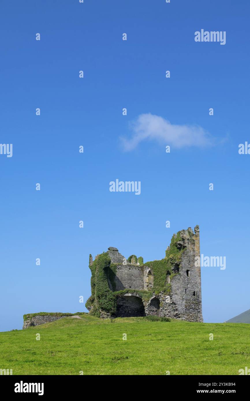 Mullaghaliss FortFairy fort / earthen ringfort · 218 yd
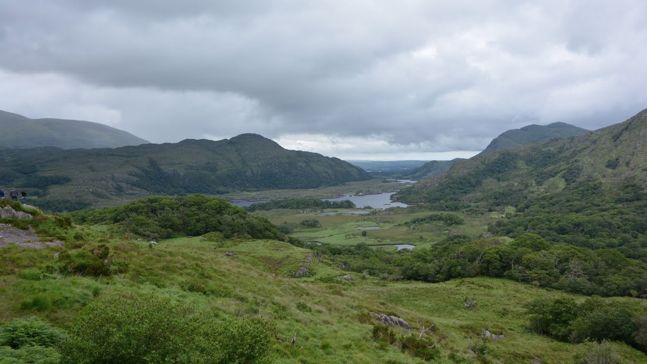 CaveMan-made underground passage · 441 yd
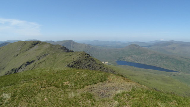 Beann NE TopMountain / peak · 1.6 mi
 MullaghanattinMountain / peak · 1.8 mi
 Ballaghbeama GapViewpoint · 2.3 mi
 Blackstones Bridgebridge · 4.3 mi
 CarrauntoohilMountain / peak · 5.9 mi
 RoadRoad, road/trackway · 6.5 mi
 Devil's Ladder RouteWalking route · 7.1 mi
 Crash site of USAAF DakotaHeritage attraction · 7.7 mi
 De Gaulle MemorialMonument · 8.1 mi
 Sneem Commemoration PlaqueMemorial · 8.2 mi