
What is recorded here
On the well-drained SE facing slopes of Bray Head, Valencia Island, overlooking the entrance to Portmagee Channel. Traces of broad cultivation ridges and field boundaries occur in the vicinity of buildings and extend outwards over a wider area.
A 3.3m stretch of a field wall (KE087-021002-) is located 7m SSW of the most northerly of the group of huts.
The above description is derived from A. O'Sullivan and J. Sheehan (compilers), 'The Iveragh peninsula: an archaeological survey of South Kerry'. Cork University Press (1996), no. 1135. In certain instances the entries have been revised and updated in the light of recent research.
Date of upload: 31 July 2013
The monument record does not grant public access. Check the route and ask the landowner before entering private land.
- What survives
- Recorded monument
Places near here
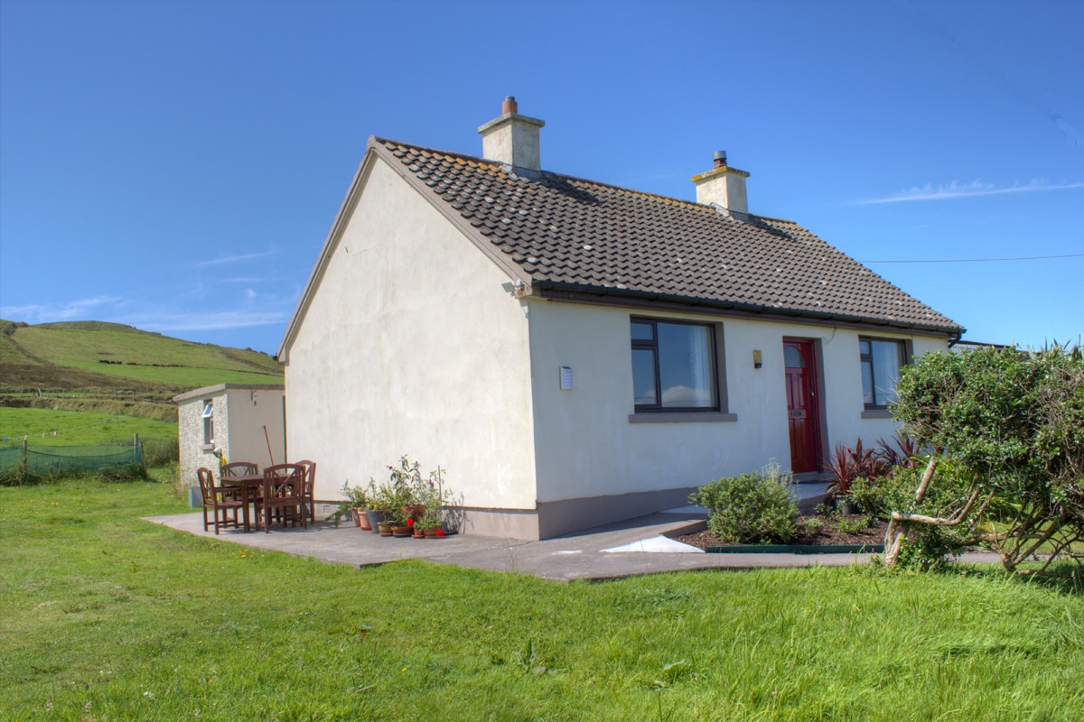 Hut site in BrayHut site · 57 yd
 IndicatedHut site · 61 yd
 KilnKiln, corn-drying · 242 yd
 MillMill, unclassified · 462 yd
 Bray HeadMountain / peak · 674 yd
 Long IslandIslet · 1245 yd
 Horse IslandIslet · 1253 yd
 Telegraph Field Valentia IslandMemorial · 1.1 mi
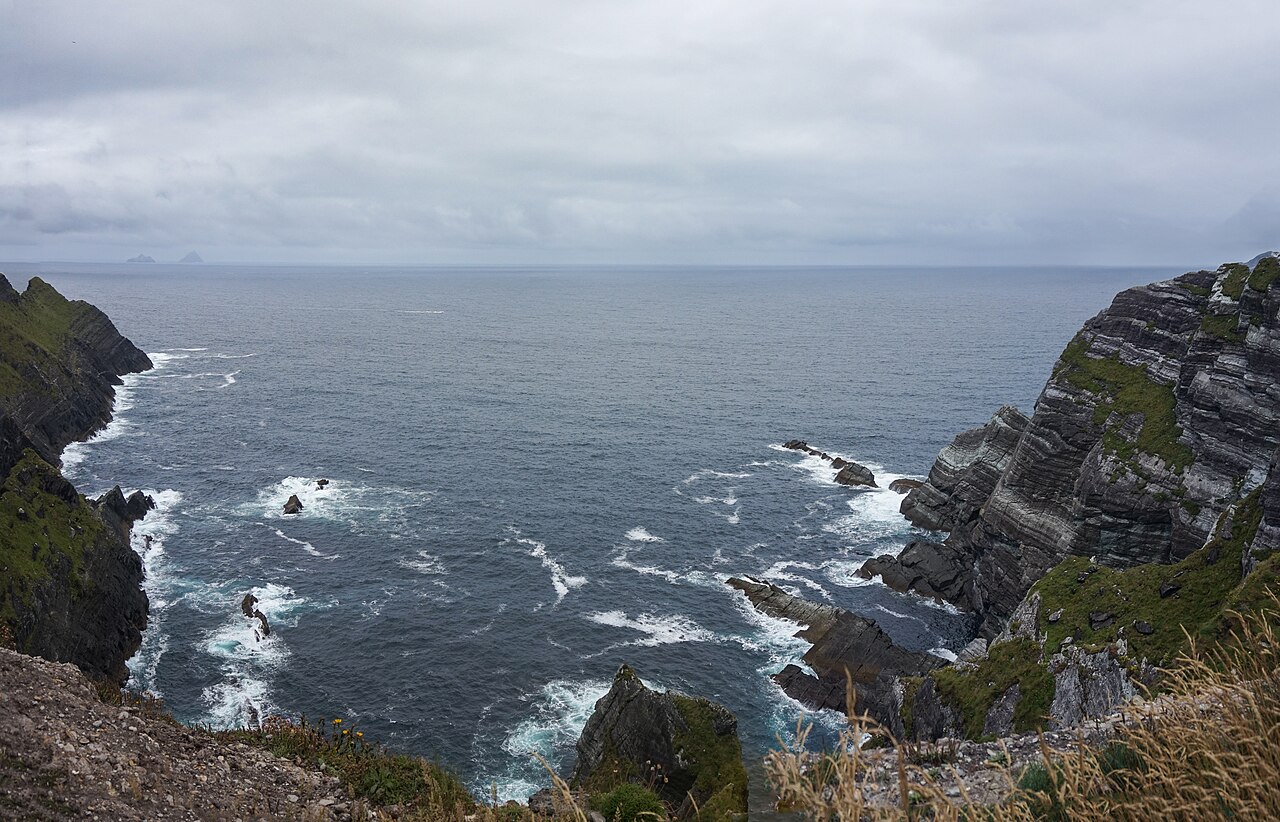 Kerry CliffsHeritage attraction · 1.7 mi
 Culloo RockViewpoint · 2.1 mi
 Sean LochaCliff · 2.5 mi
 Tráigh na SplinceBeach / strand · 2.6 mi
Other information
Photo: Credit not shown in the picture search · Rights wording not checked; contact us if this picture should be removed