
What is recorded here
Located at the crest on the W side of the valley (Wth of top c. 120m) of a small N-S stream. The cropmark of what is probably a post-medieval field bank defined by two ditch features is visible on aerial photographs (WX045-088_1 to _ 4) that were taken in July 2006. From the S it swings W and curves NE (C. c. 90m) terminating at both ends at the edge of the valley.
Compiled by: Michael Moore
Date of upload: 22 July, 2013
The monument record does not grant public access. Check the route and ask the landowner before entering private land.
- What survives
- Recorded monument
Places near here
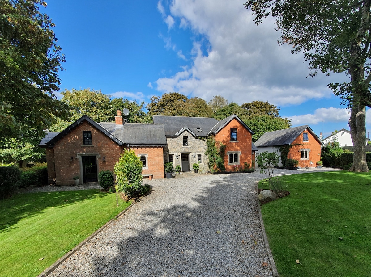 EnclosureFairy fort / earthen ringfort · 351 yd
 Baylestown Housefarm house · 575 yd
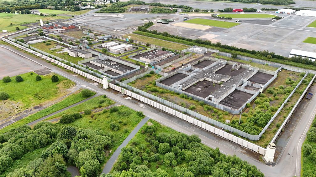 Concentric enclosure in BallygowneyConcentric enclosure · 800 yd
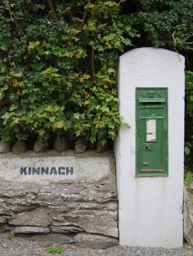 post boxpost box · 1463 yd
 Lockheed Hudson AM885 MemorialMemorial · 1656 yd
 1798Memorial · 2.1 mi
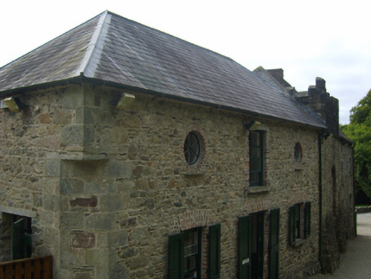 Tintern Abbeystables · 2.1 mi
 Rathumney Castle (in ruins)Castle, hall-house · 2.2 mi
 Bawn in TaylorstownBawn · 2.3 mi
 Tinnock RockNamed rock · 3.1 mi
 Common WhitebeamCommon Whitebeam · 3.8 mi
 Grange BeachBeach / strand · 4.3 mi
Other information
Photo: Credit not shown in the picture search · Rights wording not checked; contact us if this picture should be removed