What is recorded here
According to Carrigan (1905, vol. 2, 373), Graine Hill is, 'divided at the top by a long, straight fence, resembling a rampart, very strong and very old, running north and south'. The earthwork in question is a large field boundary, probably a forerunner of the county boundary as is suggested by Carrigan.
Compiled by: Jean Farrelly
Date of upload: 11 June 2019
The monument record does not grant public access. Check the route and ask the landowner before entering private land.
- What survives
- Recorded monument
Places near here
 Glenreagh Ringfort (rath)Archaeological place · 254 yd
 Lisduff Bridgebridge · 708 yd
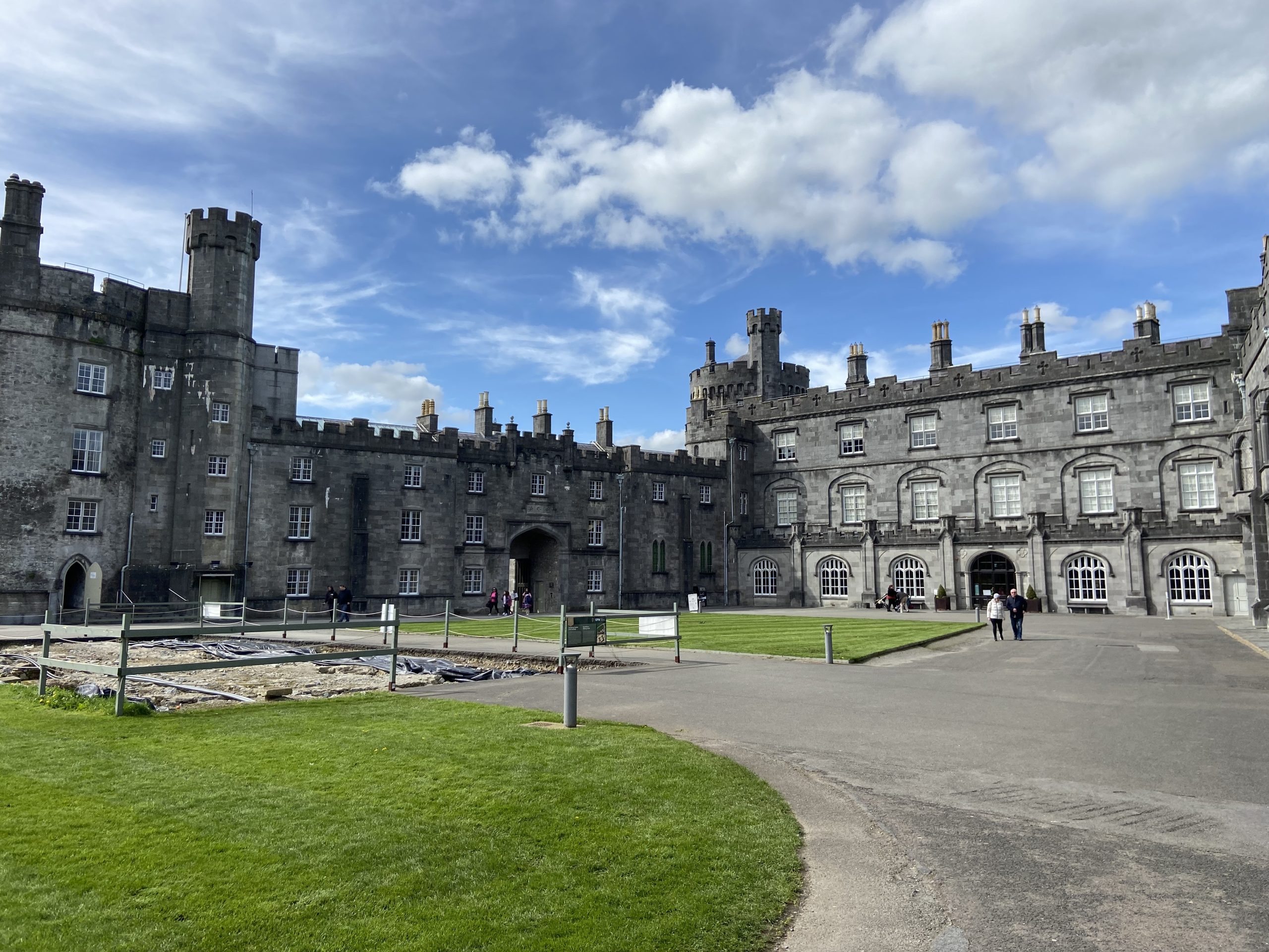 Forekill Ringfort (rath)Archaeological place · 917 yd
 Saint Patrick's Catholic Churchgraveyard/cemetery · 1231 yd
 CastleCastle, tower house · 1.0 mi
 Serpentine WoodForest · 1.8 mi
 Kildrinagh WoodForest · 1.8 mi
 Black CastleCastle, hall-house · 1.9 mi
 Kilcooly AbbeyHeritage attraction · 2.4 mi
 Clomantagh HillMountain / peak · 3.2 mi
 John HelyMemorial · 3.7 mi
 DelaneyMemorial · 3.8 mi