What is recorded here
Pre-development testing and monitoring of topsoil removal for a housing development immediately to the NE of the site of a possible 17th-century house (LF009-022----) revealed evidence of field boundaries and cultivation ridges (LF009-022001-) (Halpin 2007, 250). There is no evidence to suggest that field boundaries date to before AD 1700 and is likely that they may be 18th century or later in date.
Compiled by: Patrick F. O'Donovan
Date of upload: 5 March 2012
The monument record does not grant public access. Check the route and ask the landowner before entering private land.
- What survives
- Recorded monument
Places near here
 Cultivation ridges in Ballinalee OR SaintjohnstownCultivation ridges · 1 yd
 Bawn in CurrycahillBawn · 42 yd
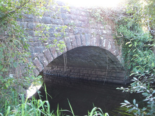 Soran Bridgebridge · 321 yd
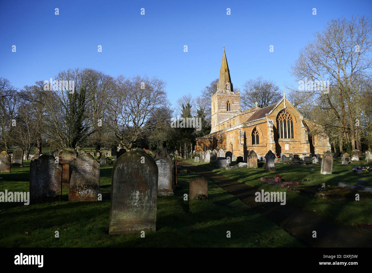 Grave YardBurial ground · 389 yd
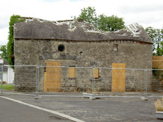 Ballinalee Masonic Hallmasonic lodge/hall · 392 yd
 Bully's Acregraveyard/cemetery, unknown · 423 yd
 Ballinalee Forest WalkForest · 780 yd
 Cloonfin WoodForest · 2.8 mi
 Clonfin Ambush MemorialMemorial · 3.3 mi
 Moat & CastleCastle, motte and bailey · 3.3 mi
 InchmoreIslet · 5.2 mi
 Granard MotteMotte-and-bailey castle remains · 6.7 mi