What is recorded here
In rough hill grazing on bog, on a S-facing slope, with views across the valley to Carrignaspirroge. A network of mainly curvilinear, relict, stone field boundaries (T 0.6m; H 0.3m), that protrude above the surface of the bog, occurs intermittently throughout a roughly rectangular area (c. 180m E-W; c. 90m N-S). Stone slabs set at right angles to the line of the wall are occasionally visible along stretches of the relict boundaries. The walls run on into the deeper bog in hollow or level areas. Four hut sites (CO057-008002-, CO057-008003, CO057-008006, CO057-008008-), two enclosures (CO057-008004-, CO057-008005-) and a fulacht fia (CO057-008007-) are within the field boundary network.
The above description is derived from 'The Archaeological Inventory of County Cork. Volume 5' (Dublin: Stationery Office, 2009).
Date of upload: 22 December 2009
The monument record does not grant public access. Check the route and ask the landowner before entering private land.
- What survives
- Recorded monument
Places near here
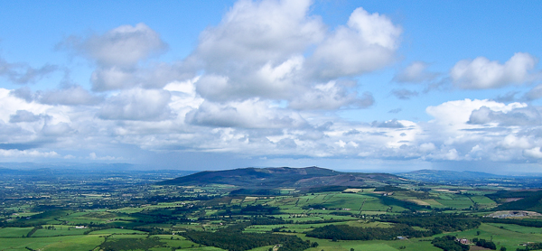 Enclosure in An Inse Mhór (tc Sliabh Riabhach)Enclosure · 7 yd
 Hut site in An Inse Mhór (tc Sliabh Riabhach)Hut site · 86 yd
 KilnKiln, lime · 418 yd
 An Cnoc BuíMountain / peak · 1333 yd
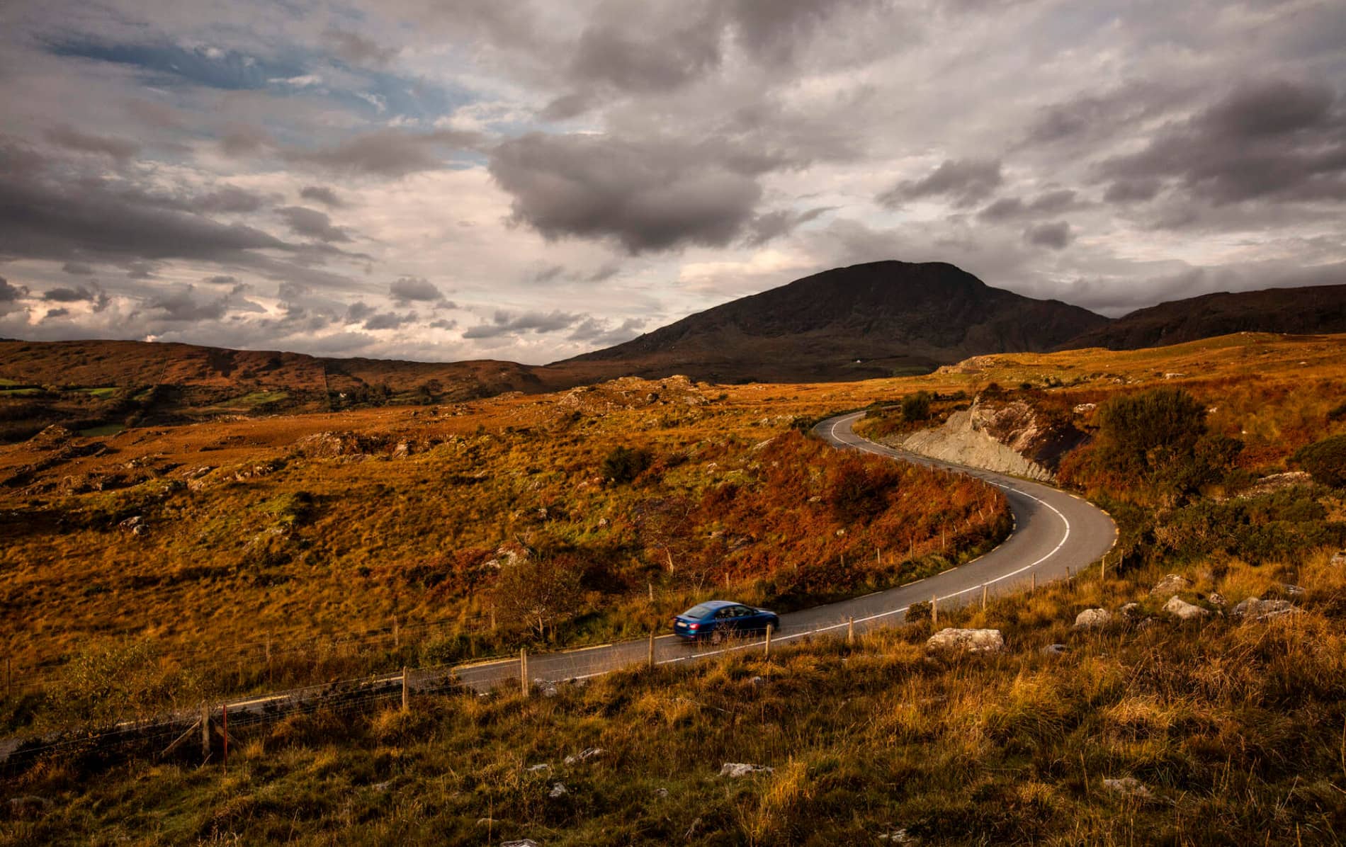 RoadRoad, road/trackway · 1.4 mi
 CoomagearlahyMountain / peak · 1.9 mi
 Sli Gaeltacht MuscraiWalking route · 3.5 mi
 Cascade WoodWood · 4.5 mi
 Castle (Site of)Castle, unclassified · 4.7 mi
 CastleCastle, unclassified · 4.7 mi
 European long distance path E8 - part IrelandWalking route · 5.1 mi
 Hidden Valley Pet FarmHeritage attraction · 6.9 mi