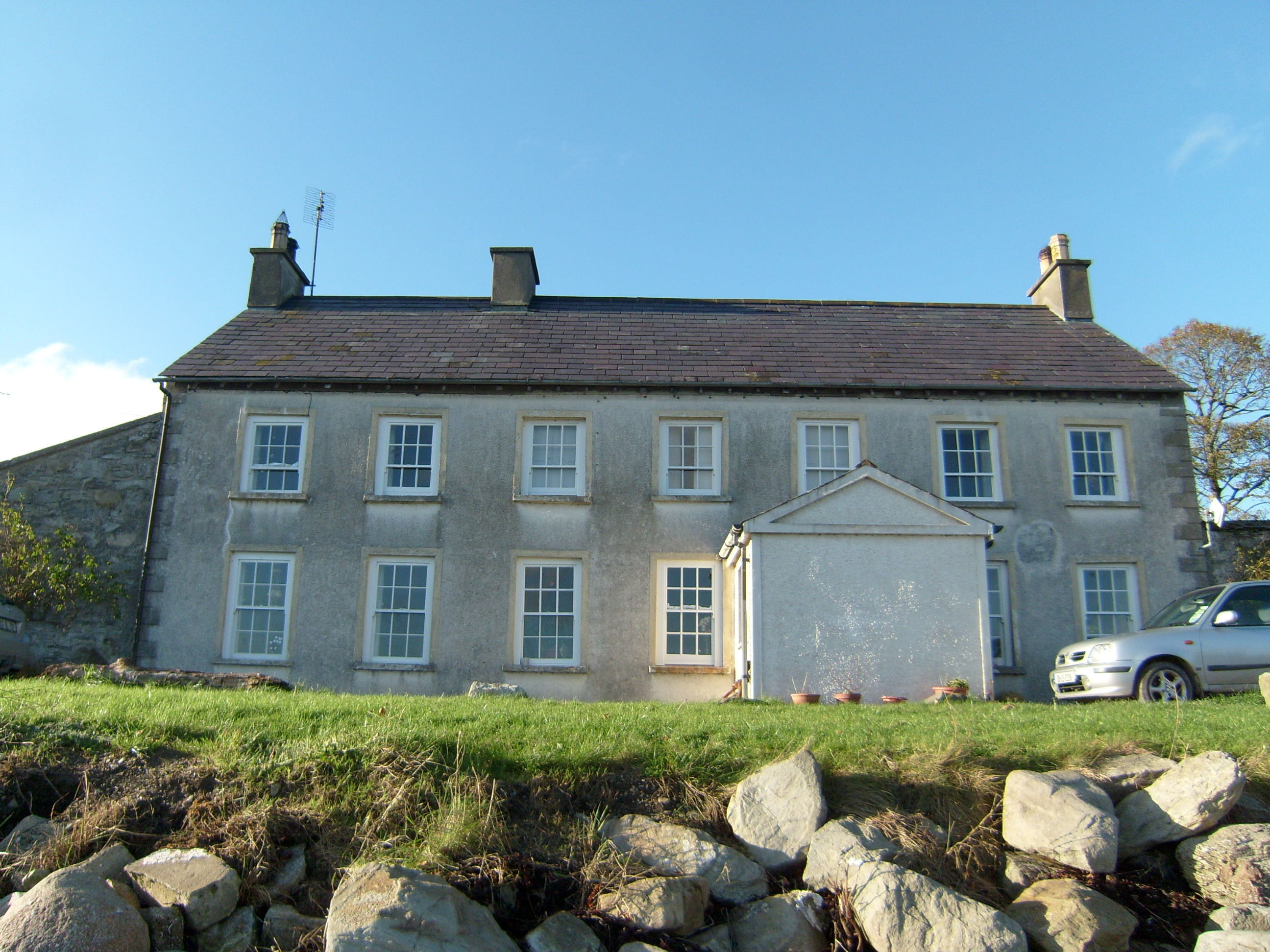
What is recorded here
Detached seven-bay two-storey former ferry house, built c.1780, having later projecting gabled porch to front, lean-to addition to rear, and single-storey extension to rear. Now in use as private dwelling. Pitched purple slate roof with exposed rafter ends, cast-iron rainwater goods and three rendered chimneystacks with octagonal clay pots. Pitched slate roof to porch and rear addition. Roughcast-rendered walls on projecting plinth course with raised rendered quoins. Raised pediment to front of porch, and rubble stone walls to rear addition. Square-headed openings with stone sills, raised render surrounds and timber sliding sash windows, six-over-six pane to ground floor and six-over-three pane to first floor, with timber panelled shutters, and timber battened door. Tiled floor to porch. Building overlooks Lough Swilly, with causeway extending to southeast. Single-storey rubble stone outbuilding to northeast, enclosed within rubble stone boundary wall with square-plan piers and replacement metal gate.
A visually pleasing building that retains its early character. Its facade has been composed in a classical manner and is framed by the raised quoins. Retention of timber sliding sash windows enhances the architectural and historical value. Fort Stewart Ferry was a regular service inaugurated and originally maintained by the Stewart Family of Fort Stewart until it ceased in 1930. The landing place at the opposite side of Lough Swilly was Ballybegley Pier.
This does not grant access. Most recorded buildings are privately owned; view them only from public ground unless the owner allows entry.
Places near here
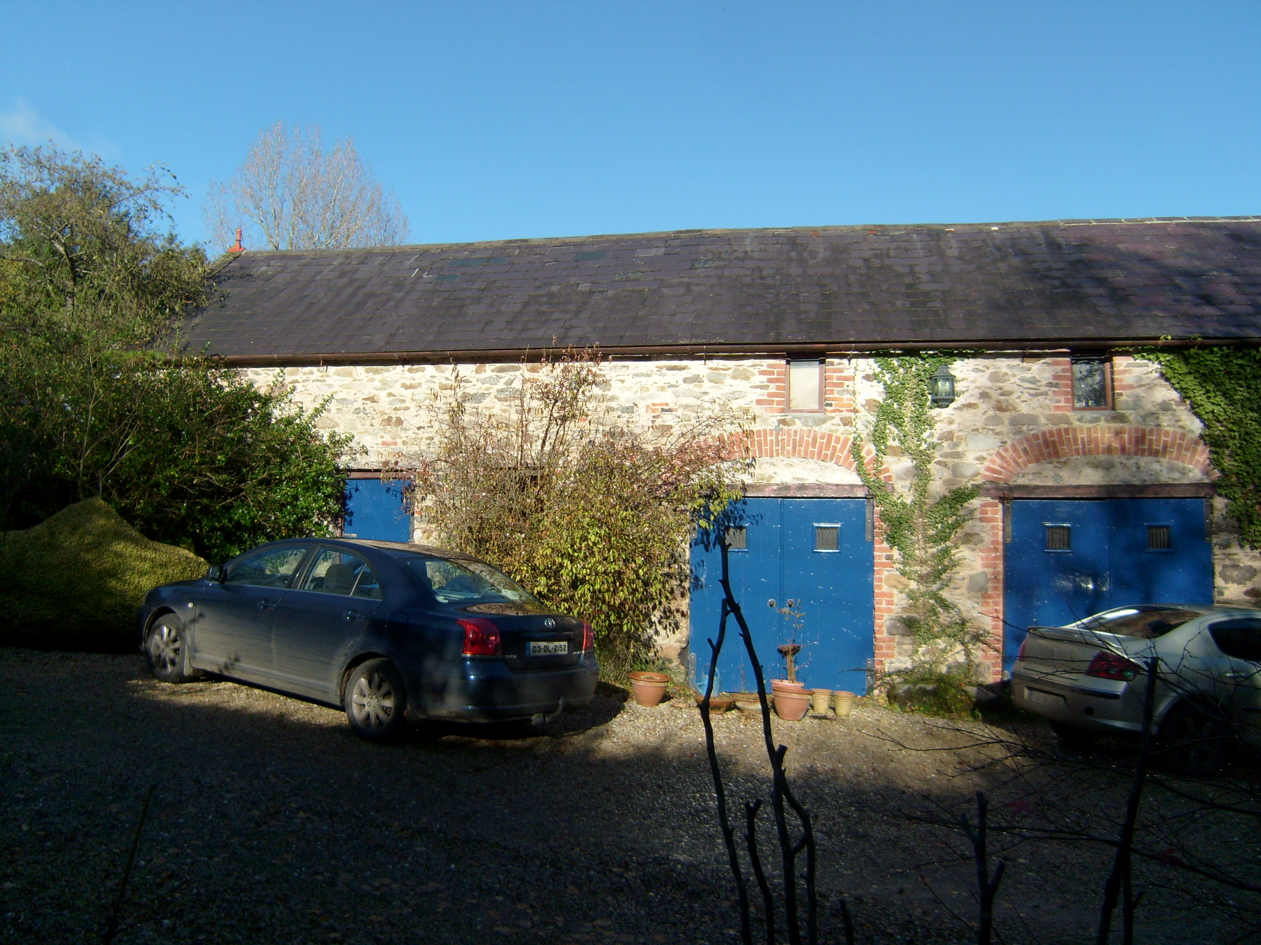 Shellfieldfarmyard complex · 487 yd
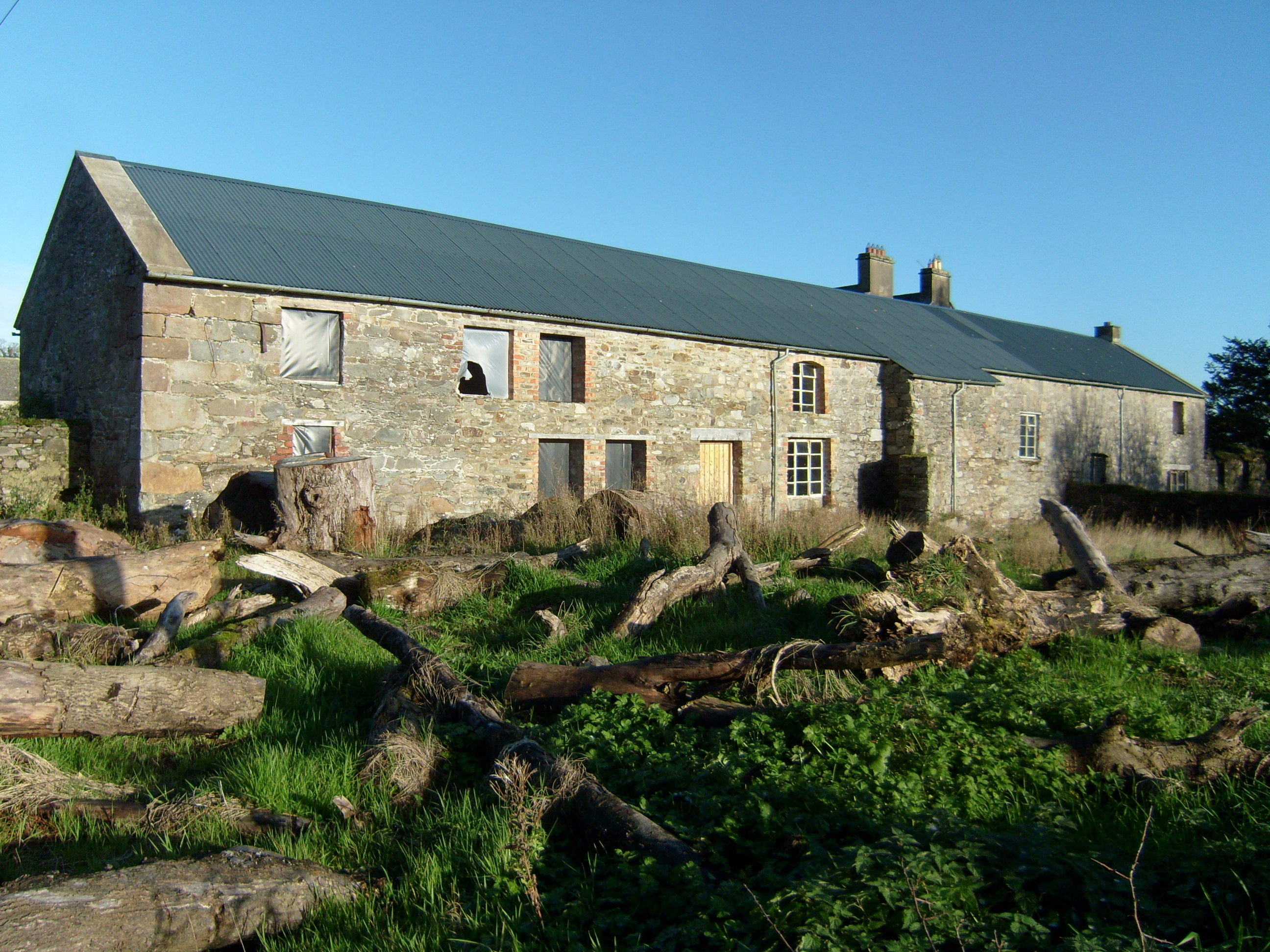 Fort Stewartfarmyard complex · 623 yd
 Almost-Levelled Killydonnell Fairy FortFairy fort / earthen ringfort · 1295 yd
 Fort Stewart in RuinsBawn · 1373 yd
 Enclosure in BallybeglyEnclosure · 1.1 mi
 Tullyaughnish Old Church GraveyardGraveyard · 2.7 mi
 Bawn in RathmeltonBawn · 2.7 mi
 European BeechEuropean Beech · 3.1 mi
 RowanRowan · 3.4 mi
 Mullanadee ShoreBeach / strand · 3.8 mi
 King's GraveArchaeological place · 4.4 mi
 InchIsland · 4.7 mi
Other information
Photo: National Inventory of Architectural Heritage · Website use allowed for educational or private purposes with source credit