
What is recorded here
Detached three-bay two-storey farm house, built c. 1850, having single-bay single-storey flat-roofed porch to east gable, single-bay single-storey outbuilding with lean-to corrugated-iron roof attached to rear (south) elevation. Pitched slate roof with rendered chimneystacks and cast-iron rainwater goods. Roughcast rendered walls. Square-headed openings with two-over-two pane timber sliding sash windows to front (north) elevation and east gable, six-over-four pane timber sliding sash windows and replacement timber casement window to rear elevation, replacement uPVC window to east and west gables. Four-bay single-storey outbuilding to yard to rear having pitched slate roof, rubble stone walls, and square-headed openings with timber fittings. Square-profile concrete block piers with double-leaf wrought-iron gates.
Simple form, small openings, nearly blank rear elevation and pitched roof typical of vernacular tradition. However, overall symmetry of elevation informed by polite architecture. Retention of timber sash windows enhancing and adding texture to elevation.
This does not grant access. Most recorded buildings are privately owned; view them only from public ground unless the owner allows entry.
Places near here
 Grave YardGraveyard · 1358 yd
 Dromadda Housecountry house · 1390 yd
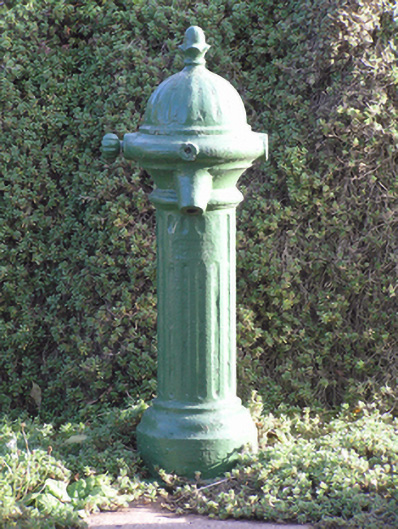 water pumpwater pump · 1721 yd
 Mitchell's WoodWood · 1.1 mi
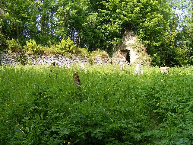 Church (Site of)Church · 1.2 mi
 Castlemartyr CastleCastle · 1.2 mi
 Pigeon WoodWood · 1.3 mi
 Ballintotis Castle (in Ruins)Castle, tower house · 1.4 mi
 William Heffernan MemorialMemorial · 1.5 mi
 N25 Picnic SitePicnic place · 1.5 mi
 Edward BransfieldMemorial · 3.9 mi
 Noel Collins BridgeVisitor information · 4.4 mi
Other information
Photo: National Inventory of Architectural Heritage · Website use allowed for educational or private purposes with source credit