What is recorded here
Marked fainlty as a circular enclosure (diam. c. 55m) and described as a 'fairy ring' on the 1840 and 1925 eds. of the OS 6-inch map, and situated on rock outcrop on top of Kilmacomb Hill. Described by Ryland (1824, 243) and Lewis (1837, vol. 2, 164) as five large stones enclosed in a stone circle (diam. c. 30m) on Kilmacomb Hill. It may be a mistaken location for a nearby passage tomb (WA027-007----) at Harristown, c. 1 km to the ENE. Nothing is visible at ground level.
The above description is derived from the published 'Archaeological Inventory of County Waterford' (Dublin: Stationery Office, 1999). In certain instances the entries have been revised and updated in the light of recent research.
Compiled by: Michael Moore
Date of upload/revision: 31 May 2011
Likely dating to the Bronze Age, the Fairy Ring at Kilmacomb may have functioned as a ritual or ceremonial enclosure. Local tradition associates such rings with fairy folklore, reflecting a blend of prehistoric use and later folk belief.
The monument record does not grant public access. Check the route and ask the landowner before entering private land.
- What survives
- Recorded monument
Places near here
 Enclosure in KilmacombEnclosure · 489 yd
 St. John the Baptists WellHoly well · 834 yd
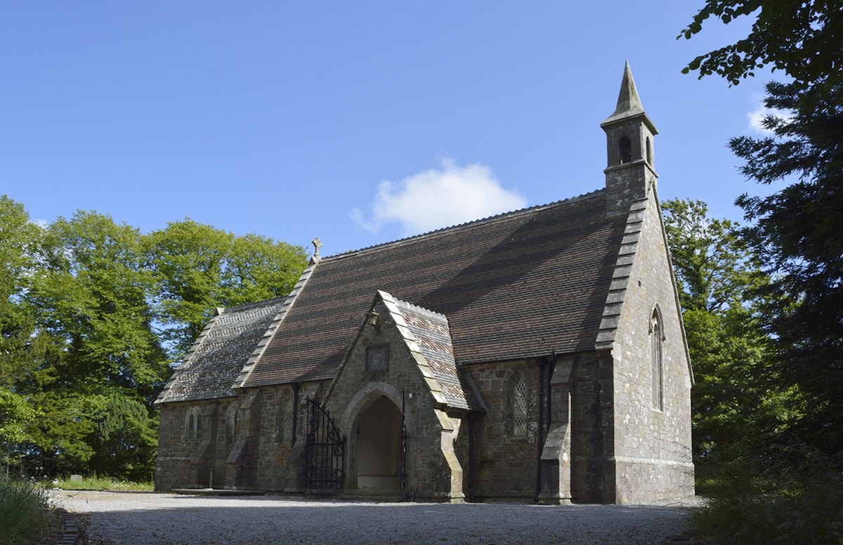 Church (in ruins)Church · 835 yd
 Fairy Bush LoopWalking route · 1.2 mi
 The Black Woman's RoadWalking route · 1.2 mi
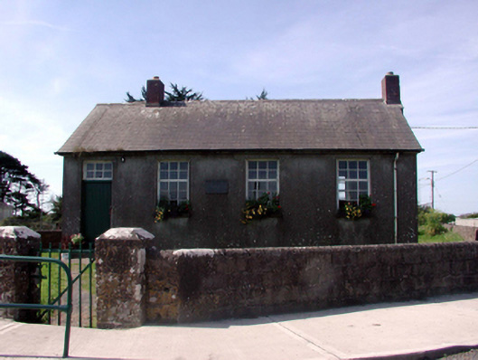 Killea National SchoolOfficially recorded historic building · 1.5 mi
 Councillors StrandBeach / strand · 2.3 mi
 Castle in ruinsCastle, Anglo-Norman masonry castle · 2.4 mi
 Ladies CoveBeach / strand · 2.4 mi
 Main ForestWood · 2.8 mi
 Lower ForestWood · 2.8 mi
 South East Coastal DriveVisitor information · 2.9 mi