What is recorded here
Mortons and others may have built or changed the circle, yet the fairy name still belongs to the place. The stones stretch twenty to twenty-five metres across an undulating field, waiting for a person brave enough to walk the whole rim and test whether the circle still holds.
In an undulating landscape. Visible as a subcircular enclosure on aerial photographs (ACAP: V204/54-5). This is a grass-covered subcircular area (int. dims 24.5m E-W; 20.5m N-S) defined by a grass-covered stone spread (Wth 3-5m; int. H 0.2m; ext. H 0.45m) with intermittently visible facing-stones, which is rebuilt as a field wall N-E. The original entrance is not identified.
The above description is derived from 'The Archaeological Inventory of County Leitrim' compiled by Michael J. Moore (Dublin: Stationery Office, 2003). In certain instances the entries have been revised and updated in the light of recent research.
Date of upload: 23 September 2008
The monument record does not grant public access. Check the route and ask the landowner before entering private land.
- What survives
- Recorded monument
Places near here
 IndicatedFairy fort / stone ringfort · 429 yd
 LaghtaFairy fort / stone ringfort · 1087 yd
 Saint Patrick's Catholic Churchchurch/chapel · 1401 yd
 Bawn in DuncarbryBawn · 1473 yd
 Giant's GraveArchaeological place · 1477 yd
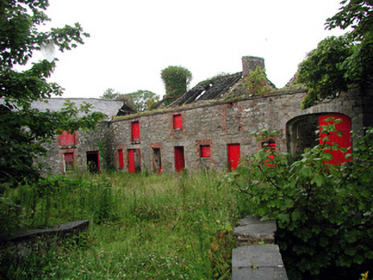 Lodgestables · 1521 yd
 Bundrowes Castle (Site of)Castle, unclassified · 1.4 mi
 BundoranOfficial bathing water · 3.0 mi
 Wishing ChairHeritage attraction · 3.6 mi
 Fairy BrigesHeritage attraction · 3.6 mi
 Cormac Reagh's HoleCave · 3.8 mi
 Cliffs by BundoranPublicly named cliff or headland · 3.8 mi