What is recorded here
In a forest, on a prominence just above a forestry road. A subcircular area (17m E-W), planted with trees, enclosed by large stones laid edge to edge (Wth 0.8m; H c. 0.2m), possibly the remains of the external facing of a cashel wall.
The above description is derived from the published 'Archaeological Inventory of County Sligo' compiled by Ursula Egan, Elizabeth Byrne, Mary Sleeman with Sheila Ronan and Connie Murphy (Dublin Stationery Office, 2005).
Date of upload: 18 January 2008
The monument record does not grant public access. Check the route and ask the landowner before entering private land.
- What survives
- Recorded monument
Places near here
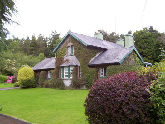 Deerpark Lodgegate lodge · 172 yd
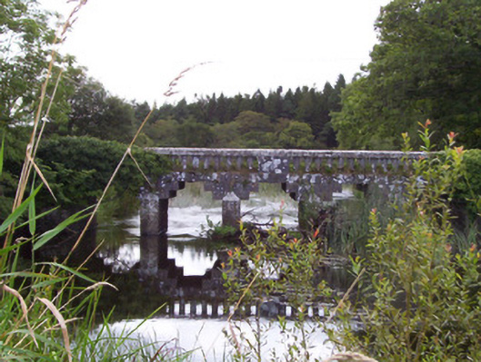 bridgebridge · 218 yd
 Kilederdaowen (Site of)Church · 604 yd
 Ecclesiastical enclosure in CloonmacduffEcclesiastical enclosure · 624 yd
 Teeling MonumentMemorial · 645 yd
 Battle of Collooneybattle · 645 yd
 Union RockForest · 1461 yd
 European ashEuropean ash · 1596 yd
 CastleCastle, motte and bailey · 1.1 mi
 BunreecoillMountain / peak · 1.7 mi
 SlievewardMountain / peak · 2.0 mi
 Castle (Site of)Castle, unclassified · 2.1 mi