What is recorded here
Doonbane is a D-shaped rock platform in Tulach, County Donegal, where a thick stone wall and outer earth bank still guard a steep southern drop. The site sits at the edge of a hilly plateau, giving it a commanding defensive position in rough grazing land. Its layered rings and sudden cliff suggest people valued the view, the danger and the visibility as much as shelter.
Marked 'Doonbane' on the 2nd and 3rd editions of the OS 6-inch map. The site consists of a D-shaped natural rock platform c. 20m E-W and c. 9m N-S enclosed by the last remains of a semi-circular stone wall originally 2.75m wide on the N side and a steep drop to the S. 10m outside the stone wall and 4m below it is a concentric bank of earth and stone 3m wide along either side of which is a fosse. The bank and fosses fade out on the S side of the mound. Two gaps in the bank seem to be modern. The site is in a commanding and defensive position at the SW edge of a hilly plateau in rough grazing land.
The above description was derived from the 'Archaeological Survey of County Donegal. A description of the field antiquities of the County from the Mesolithic Period to the 17th century.' Compiled by: Brian Lacey with Eamon Cody, Claire Cotter, Judy Cuppage, Noel Dunne, Vincent Hurley, Celie O'Rahilly, Paul Walsh and Seán Ó Nualláin (Lifford: Donegal County Council, 1983). In certain instances the entries have been revised and updated.
Date of upload: 22 September 2008
The monument record does not grant public access. Check the route and ask the landowner before entering private land.
- What survives
- Recorded monument
Places near here
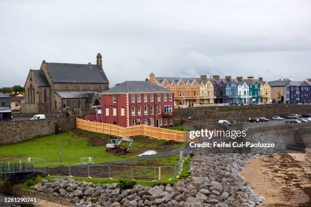 DoonbaneArchaeological place · 15 yd
 Mulroy National Schoolschool · 1.2 mi
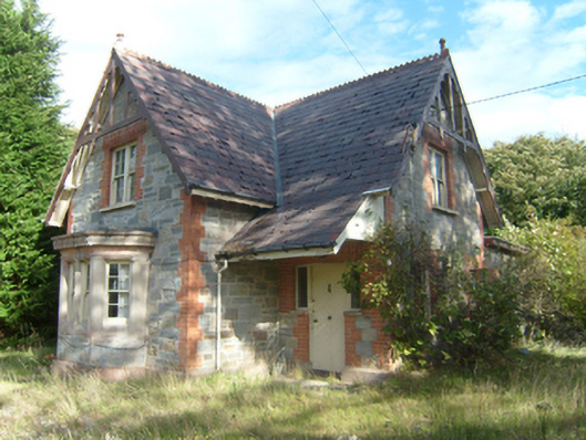 Milford Gate Lodgegate lodge · 1.8 mi
 Cranberry IslandIslet · 2.0 mi
 Aghalatty Stone RingfortFairy fort / stone ringfort · 2.1 mi
 WoodquarterForest recreation place · 2.3 mi
 Rough IslandIslet · 2.7 mi
 Moross CastleCastle, tower house · 3.4 mi
 Àn Trá MorBeach / strand · 4.2 mi
 Loughsalt MountainMountain / peak · 4.8 mi
 Monterey CypressMonterey Cypress · 5.0 mi
 Ards Friary Coastal LoopOfficial walking route · 5.0 mi