What is recorded here
Mortons and Foy's armies clashed nearby during the Nine Years' War, yet the fort itself remains an unmarked stone ring on a Leixlip slope. It is not a fortress built for human generals but a fairy fort, a place where the seen world thins and the unseen one occupies the same grass. The stones do not command troops or resist siege; they mark a doorway. What enters through that doorway does not answer to mortal reason, and what leaves it carries the memory of Leixlip's blood into a world where remember is the same as becoming.
Towards the top of a rise on a NE-facing slope and c. 130m from the SW shore of Lough Melvin. Grass-covered circular area (int. diam. 21.5m E-W; 19.5m N-S) defined by a stone spread with intermittently visible facing-stones (Wth 2.1m; int. H 0.2m; ext. 0.4m) E-SW which is reduced to a stony scarp (H 0.4m at W to 1.1m at NE) elsewhere. The original entrance is not identified.
The above description is derived from 'The Archaeological Inventory of County Leitrim' compiled by Michael J. Moore (Dublin: Stationery Office, 2003). In certain instances the entries have been revised and updated in the light of recent research.
Date of upload: 23 September 2008
The monument record does not grant public access. Check the route and ask the landowner before entering private land.
- What survives
- Recorded monument
Places near here
 CastleCastle, tower house · 129 yd
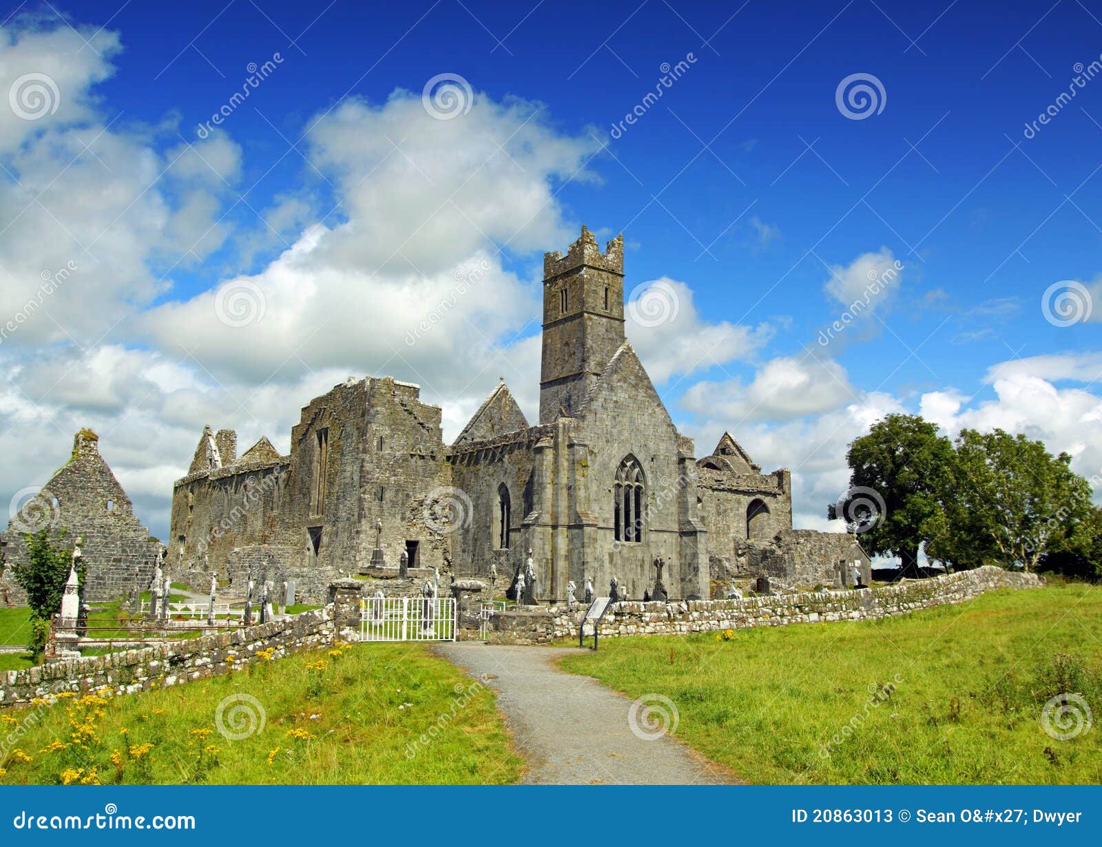 AbbeyChurch · 135 yd
 Giant's GraveArchaeological place · 865 yd
 Enclosure in RosfriarEnclosure · 1168 yd
 Rosfriar PointHeadland · 1353 yd
 Lareen BayBay · 1430 yd
 InisheherIslet · 1575 yd
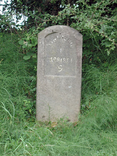 milestone/milepostmilestone/milepost · 1680 yd
 Enclosure in GorteendarraghEnclosure · 1.3 mi
 InishmeanIslet · 1.7 mi
 Arroo MountainMountain / peak · 1.7 mi
 Conwal NorthMountain / peak · 2.7 mi