What is recorded here
Yes. That much is true. Whether it is a fairy fort or a human fort is not known. The claim needs evidence and may be false.
On exposed limestone pavement with rough grazing land to the SE and SW. An almost square enclosure (c. 53m NW-SE; c. 52m NE-SW), defined by a stone wall, is visible on Google Earth aerial imagery dating from March 2015. A possible structure (GA122-146002-), roughly rectangular in plan (c. 8m WNW-ESE; c. 5m NNE-SSW), is visible in the S half of the interior. Possible internal divisions or later animal pens are visible in the NW and SE angles. Identified and reported by Jean-Charles Caillère. Possibly a cashel or moher (see FitzPatrick 2009, 284).
The following image has been uploaded: GA122-146001-_01.jpg Google Earth image (April 2021)
Compiled by: Olive Alcock
Date of upload: 20 July 2022
The monument record does not grant public access. Check the route and ask the landowner before entering private land.
- What survives
- Recorded monument
Places near here
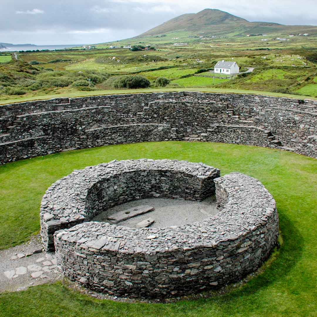 Fairy fort / stone ringfort in Roo (kiltartan By.)Fairy fort / stone ringfort · 1261 yd
 EnclosureEnclosure, large enclosure · 1506 yd
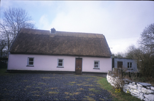 Tulla Parkfarm house · 1.2 mi
 Castle (in ruins)Bawn · 1.4 mi
 ToheracollureRuins · 1.5 mi
 Castle in ruinsCastle, unclassified · 1.6 mi
 Kilmacduagh Monastic SiteVisitor information · 2.3 mi
 Kilmacduagh MonasteryHeritage attraction · 2.4 mi
 Coole-Garryland Nature ReserveNature reserve · 2.8 mi
 Grave of Saint Mac Duagh's ServantArchaeological place · 3.1 mi
 Coole ParkWood · 3.5 mi
 Kilnaloone GraveyardArchaeological place · 4.1 mi