What is recorded here
Mortons and others occupied the oval stone ring at Redbrae before humans forgot the entrance. The fort stands two to four metres above ordinary ground, wide enough for families, tools and argument, yet its boundary has merged into a farm wall as if the landscape swallowed the edge. Fairy fort is the name locals gave what measurement cannot explain: a place old enough to stop being human-shaped.
On top of a small rise (H 2-4m). Grass-covered oval area (int. dims 26m E-W; 21m N-S) defined by the remains of a stone-faced wall (Wth c. 2.5m; max. int. H 1m), which is incorporated into a NNW-SSE field wall at W. The original entrance is not identified.
The above description is derived from 'The Archaeological Inventory of County Leitrim' compiled by Michael J. Moore (Dublin: Stationery Office, 2003). In certain instances the entries have been revised and updated in the light of recent research.
Date of upload: 23 September 2008
The monument record does not grant public access. Check the route and ask the landowner before entering private land.
- What survives
- Recorded monument
Places near here
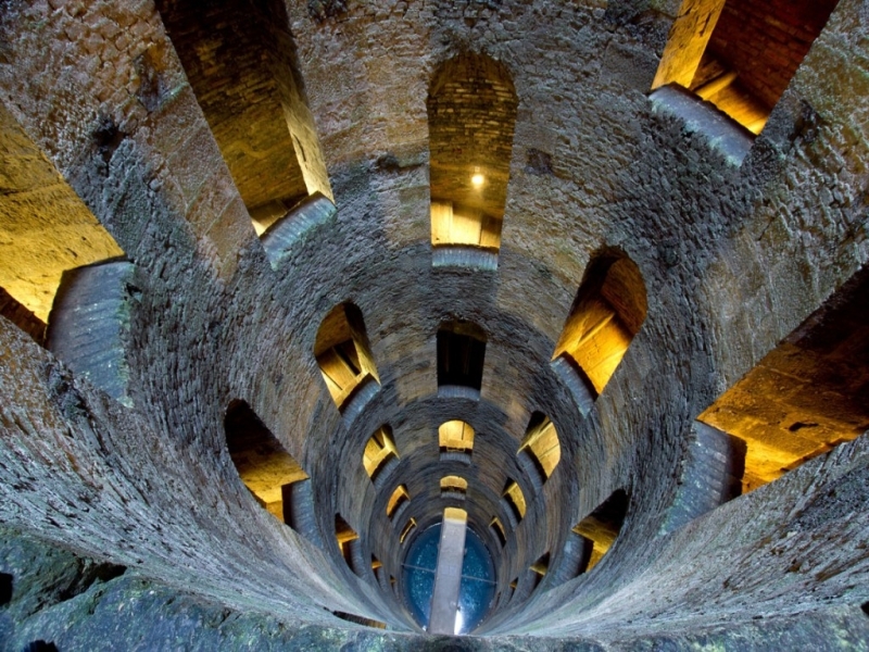 St. Patricks WellHoly well · 913 yd
 LaghtaFairy fort / stone ringfort · 1063 yd
 Giant's GraveArchaeological place · 1232 yd
 Saint Patrick's Catholic Churchchurch/chapel · 1.1 mi
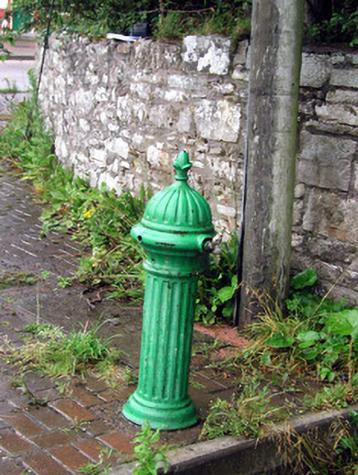 water pumpwater pump · 1.4 mi
 Bawn in DuncarbryBawn · 1.5 mi
 Bundrowes Castle (Site of)Castle, unclassified · 1.8 mi
 Creevykeel Court TombNeolithic court tomb · 3.3 mi
 assassination of Louis Mountbatten, 1st Earl Mountbatten of Burmaassassination · 3.4 mi
 BundoranOfficial bathing water · 3.6 mi
 Unbaptised Children MonumentMemorial · 3.7 mi
 Classiebawn WoodsWood · 3.9 mi