What is recorded here
On a shelf on the N-facing slope of a ridge with a working quarry c. 60m to the N and c. 60m to the W. Circular grass-covered area (diam. c. 30.5m) defined by an overgrown stone spread (Wth 2.6-5.3m; H 0.2-0.6m) which is rebuilt in places, but there is no visible entrance. A circular grass-covered cairn (RO006-131006-) (diam. 7m; H 0.2-3m) S of the centre may be a hut-site, although there is a tradition of its use as a childrens burial ground. Cashel (RO006-131001-) is c. 70m to the WSW, and cashel (RO006-132----) is c. 200m to the ENE.
Compiled by: Michael Moore
Date of upload: 24 August 2010
The monument record does not grant public access. Check the route and ask the landowner before entering private land.
- What survives
- Recorded monument
Places near here
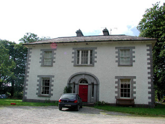 Carrigard Househouse · 675 yd
 Enclosure in Keeloges (boyle By.)Enclosure · 786 yd
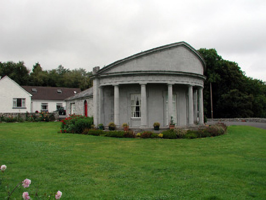 Rockingham Housegate lodge · 901 yd
 Enclosure in CarrickmoreEnclosure · 1013 yd
 Lough Key Forest ParkWood · 1.1 mi
 Erris BayBay · 1.4 mi
 Horse-chestnutHorse-chestnut · 1.5 mi
 Western RedcedarWestern Redcedar · 1.5 mi
 Longford HillMountain / peak · 1.7 mi
 Trinity IslandIslet · 1.7 mi
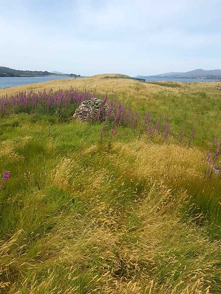 Drummans IslandIsland · 1.8 mi
 Moylung Castle (in ruins)Castle, unclassified · 1.9 mi