What is recorded here
Pollnagroagh held a thirty-metre stone ring on level pastureland, but human hands or heavy wheels erased the wall before 1983. Hawthorn bushes now choke the interior, hiding the boundary beneath green growth. The fairies kept their fort by denying it to everyone else.
In an area of level pastureland and rock outcrop. Marked on the OS 6-inch maps as a circular enclosure (diam. c. 30m). On inspection in October 1983 the enclosing wall had been levelled and apart from loose stones scattered about in the interior of the site and externally, no visible surface trace survived. The interior was overgrown with hawthorn bushes. (Cody 1989, 280-81, no. 106)
Compiled by: Galway Archaeological Survey, UCG
Date of upload: 14 June 2019
The monument record does not grant public access. Check the route and ask the landowner before entering private land.
- What survives
- Recorded monument
Places near here
 Castle (in Ruins)Castle, unclassified · 184 yd
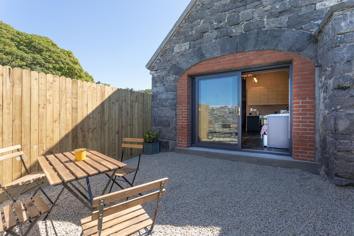 EnclosureEnclosure, large enclosure · 1357 yd
 Castle LambertCountry house · 1471 yd
 CaherFairy fort / stone ringfort · 1637 yd
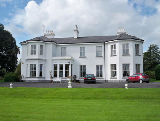 Raheen Househouse · 1.3 mi
 Convent (in ruins)Castle, ringwork · 1.5 mi
 First Battle of Athenrybattle · 1.8 mi
 Horse-chestnutHorse-chestnut · 1.8 mi
 Athenry CastleHeritage attraction · 2.0 mi
 Athenry AbbeyHeritage attraction · 2.0 mi
 The HazelWood · 3.9 mi
 Rabbit IslandIslet · 9.5 mi