
What is recorded here
In level pastureland. Poorly preserved subcircular cashel (38m N-S; 32m E-W) defined by two collapsed drystone walls which are partially obscured by field-clearance rubble. Within the interior are numerous low banks of earth and stone, which may be associated internal divisions. A possible house site (GA084-121001-) lies in NW quadrant. (Knox 1918b, 106, no. 3)
Compiled by: Galway Archaeological Survey, UCG
Date of upload: 14 October 2016
The monument record does not grant public access. Check the route and ask the landowner before entering private land.
- What survives
- Recorded monument
Places near here
 IndicatedFairy fort / earthen ringfort · 421 yd
 Enclosure in Ballygarraun SouthEnclosure · 755 yd
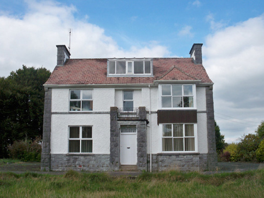 Mellows Campusbuilding misc · 851 yd
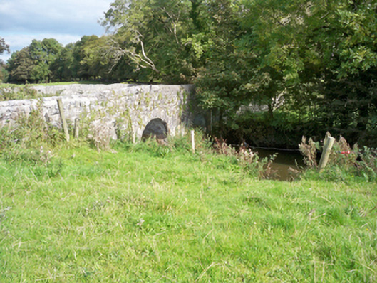 bridgebridge · 1715 yd
 Castle (in Ruins)Castle, unclassified · 1722 yd
 Horse-chestnutHorse-chestnut · 1.6 mi
 Athenry AbbeyHeritage attraction · 1.7 mi
 Castle or King Johns Court (in ruins)Castle, Anglo-Norman masonry castle · 1.7 mi
 Athenry CastleHeritage attraction · 1.7 miFirst Battle of Athenrybattle · 1.9 mi
 Moyard WoodWood · 3.8 mi
 Leadmine HillMountain / peak · 8.7 mi
Other information
Photo: Credit not shown in the picture search · Rights wording not checked; contact us if this picture should be removed