What is recorded here
Fairy fort in Mulroog West, a circular cashel 16.8m across on a north-facing slope, now wears grass and gives up most of its shape. A field boundary cuts through its west sector, as if the living landscape took back what the stones could not hold. People may have stood inside it, marked it, or left it to the fairies; the collapse makes that likely rather than certain.
On a N-facing slope in improved pastureland. This poorly preserved circular cashel (diam. 16.8m) is defined by a much-collapsed grassed-over drystone wall (Wth 2.1m; base Wth 7.2m; int. H 0.92m; ext. H 1.14m). A field boundary, running N-S, cuts through WNW sector of the monument.
Compiled by: Galway Archaeological Survey, UCG
Date of upload: 27 February 2018
The monument record does not grant public access. Check the route and ask the landowner before entering private land.
- What survives
- Recorded monument
Places near here
 Church in Mulroog WestChurch · 365 yd
 Enclosure in Mulroog WestEnclosure · 749 yd
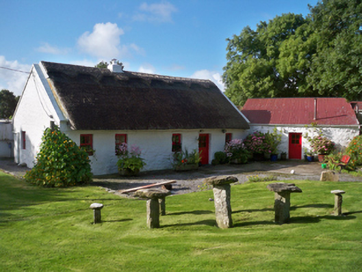 Rose Cottagehouse · 1083 yd
 IllananireyIslet · 1658 yd
 CrossCross · 1.2 mi
 Fiddaun IslandIslet · 1.4 mi
 CastleCastle, unclassified · 1.8 mi
 Drumacoo Monastic SiteHeritage attraction · 1.9 mi
 Traught BeachBeach / strand · 2.2 mi
 Mweenish PointHeadland · 2.2 mi
 Ballynacourty Court (in ruins)Castle, hall-house · 2.5 mi
 Plumbtree FortArchaeological place · 3.8 mi