What is recorded here
Backup failed. Save the latest journal and continue the human conversation.
Marked 'Fort' on OS 1836 ed. Not marked on subsequent eds. Situated close to the base of a low drumlin hill. The site is occupied by a now disused dwelling-house and farm buildings. Not visible at ground level.
The above description is derived from the published 'Archaeological Inventory of County Cavan' (Dublin: Stationery Office, 1995). In certain instances the entries have been revised and updated in the light of recent research.
Date of upload/revision: 22 December 2008
The monument record does not grant public access. Check the route and ask the landowner before entering private land.
- What survives
- Recorded monument
Places near here
 IndicatedFairy fort / stone ringfort · 686 yd
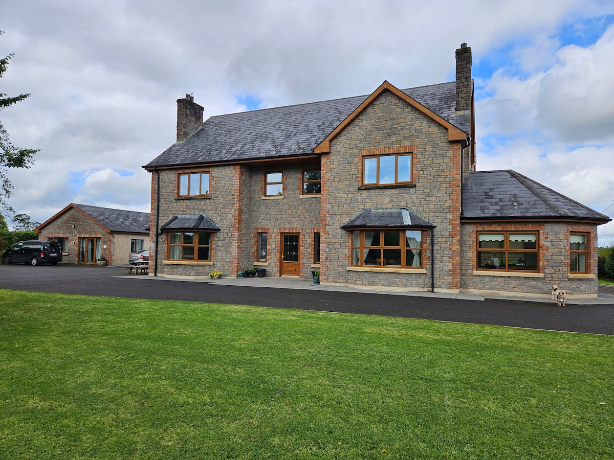 StoneparkWood · 926 yd
 Worm Ditch or Black Pigs RaceArchaeological place · 1061 yd
 European YewEuropean Yew · 1178 yd
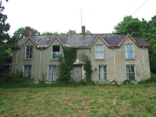 Killynurehouse · 1240 yd
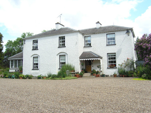 Killoughter Glebe Houserectory/glebe/vicarage/curate's house · 1335 yd
 RuinsHouse, fortified house · 1404 yd
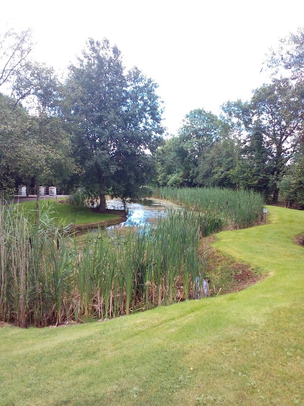 ClaraghMountain / peak · 1.0 mi
 DrumakeenanMountain / peak · 1.1 mi
 Bawn in KillyfanaBawn · 2.3 mi
 Garden IsleIslet · 3.6 mi
 Annagh Lough BeachBeach / strand · 4.8 mi