What is recorded here
Fairy fort / stone ringfort in Mullaghnashee is a fairy fort or stone ringfort in Mullaghnashee, County Roscommon, Ireland. The circular area reaches fifty-two metres across and contains a southeast gap that may mark an original entrance. A long depression runs west-northwest from the enclosure, possibly resulting from quarrying, while a holy well and penitential station lie three hundred metres to the east-southeast.
In level improved pasture shown as an area of outcropping rock on the OS 25-inch map and on the Cassini edition of the OS 6-inch map. Visible on Digital Globe aerial imagery as a circular area (max. diam. c. 52m) defined by the cropmark of a fosse (Wth c. 2-4m). A gap at SE (Wth c. 6m) may be the location of an original entrance. A subrectangular linear depression (L c. 40m WNW-ESE; max. Wth c. 12m) running WNW from the W sector of the enclosure may be the result of quarrying. 'Toberbreedia' holy well (RO020-013001-) and a penitential station (RO020-013002-) lie c. 300m to the ESE.
See attached image: RO020-063----_01 Snip of Digital Globe aerial image.
Compiled by: Gearóid Conroy based on details provided by Anne-Karoline Distel.
Date of upload: 3 August 2023
The monument record does not grant public access. Check the route and ask the landowner before entering private land.
- What survives
- Recorded monument
Places near here
 Penitential station in Stonepark (frenchpark By., Fairymount Ed)Penitential station · 352 yd
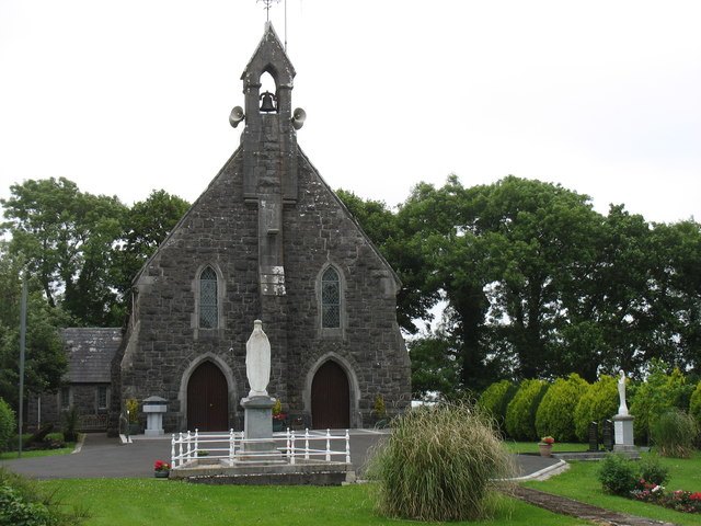 Catholic Church of the Sacred Heartchurch/chapel · 446 yd
 Fairymount HillMountain / peak · 1246 yd
 LisdrumneillArchaeological place · 1.1 mi
 Kilcooley Church (Site of)Church · 1.1 mi
 Druminagh WoodForest · 1.6 mi
 TowerCastle, tower house · 3.5 mi
 Clonalis HouseMuseum · 3.9 mi
 Frenchpark Ho.Castle, unclassified · 4.0 mi
 Silver IslandIslet · 4.8 mi
 Square WoodForest · 4.8 mi
 Workhouse MemorialMemorial · 4.9 mi