What is recorded here
Fairy fort in Moneen, County Leitrim: a shallow stone ring, about eighteen metres across, on a gentle northwest slope. Its entrance has vanished under grass and time. In human terms it may have been a farmhouse defensible at a glance; in local story it belongs to the fairies, which is often the same thing.
On a gentle NW-facing slope. Overgrown circular area (int. diam. 18.5m N-S) defined by a stone spread (Wth 3.4m; H 0.45m) with facing-stones intermittently visible. The original entrance cannot be identified.
The above description is derived from 'The Archaeological Inventory of County Leitrim' compiled by Michael J. Moore (Dublin: Stationery Office, 2003). In certain instances the entries have been revised and updated in the light of recent research.
Date of upload: 23 September 2008
The monument record does not grant public access. Check the route and ask the landowner before entering private land.
- What survives
- Recorded monument
Places near here
 IndicatedFairy fort / earthen ringfort · 685 yd
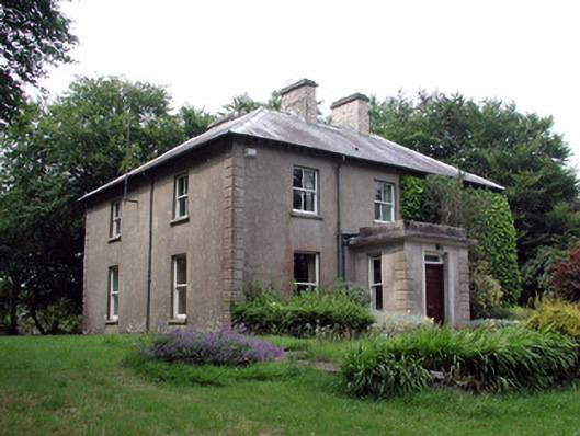 The Old Rectoryrectory/glebe/vicarage/curate's house · 979 yd
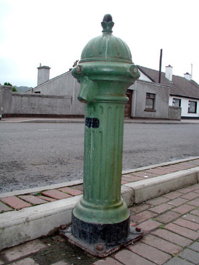 water pumpwater pump · 1493 yd
 Embanked enclosureFairy fort / stone ringfort · 1.1 mi
 Arroo MountainMountain / peak · 2.1 mi
 Bawn in DuncarbryBawn · 2.4 mi
 CastleCastle, tower house · 2.4 mi
 Lareen BayBay · 2.8 mi
 Giant's GraveArchaeological place · 3.0 mi
 Rosfriar PointHeadland · 3.0 mi
 InisheherIslet · 3.2 mi
 BundoranOfficial bathing water · 3.3 mi