What is recorded here
Fairy fort / stone ringfort in Mahanagh is a fairy fort or stone ringfort in Mahanagh, County Sligo, Ireland. It occupies a natural elevation overlooking Lough Gara, marking a circular area twenty-eight by thirty metres. A scarp, ruined stone wall and slight ground undulation define its boundary, while bushes and brambles conceal parts of the structure. Another cashel lies thirty metres to the north.
In undulating rocky pasture, on a natural elevation overlooking Lough Gara to SW. A circular area (28m N-S; 30m E-W) defined ESE-SW by a scarp (H 1.5m), SW-NNE by a ruined stone wall (Wth 2.5m; int. H 0.8m; ext. H 1.1m) and N-ENE by a slight undulation. The scarp is irregular and dilapidated with occasional stones and boulders protruding from the sod while the stone wall is engulfed in bushes and brambles and is particularly dilapidated at W. The interior is slightly domed in the centre and occasional stones and boulders break the surface. At ESE there is a large heap of rubble at the junction of the scarp and a ruined field boundary wall that extend to E from the cashel. Another cashel (SL044-054----) lies c. 30m to N.
The above description is derived from the published 'Archaeological Inventory of County Sligo' compiled by Ursula Egan, Elizabeth Byrne, Mary Sleeman with Sheila Ronan and Connie Murphy (Dublin Stationery Office, 2005).
Date of upload: 18 January 2008
The monument record does not grant public access. Check the route and ask the landowner before entering private land.
- What survives
- Recorded monument
Places near here
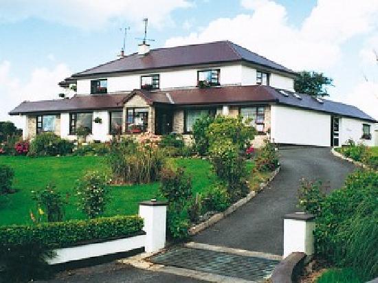 IndicatedFairy fort / stone ringfort · 65 yd
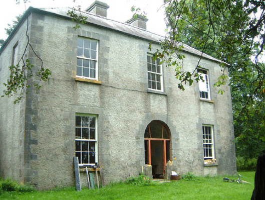 Redhill Househunting/fishing lodge · 915 yd
 Moygara Castle (in Ruins)Bawn · 1746 yd
 Moygara CastleCastle · 1748 yd
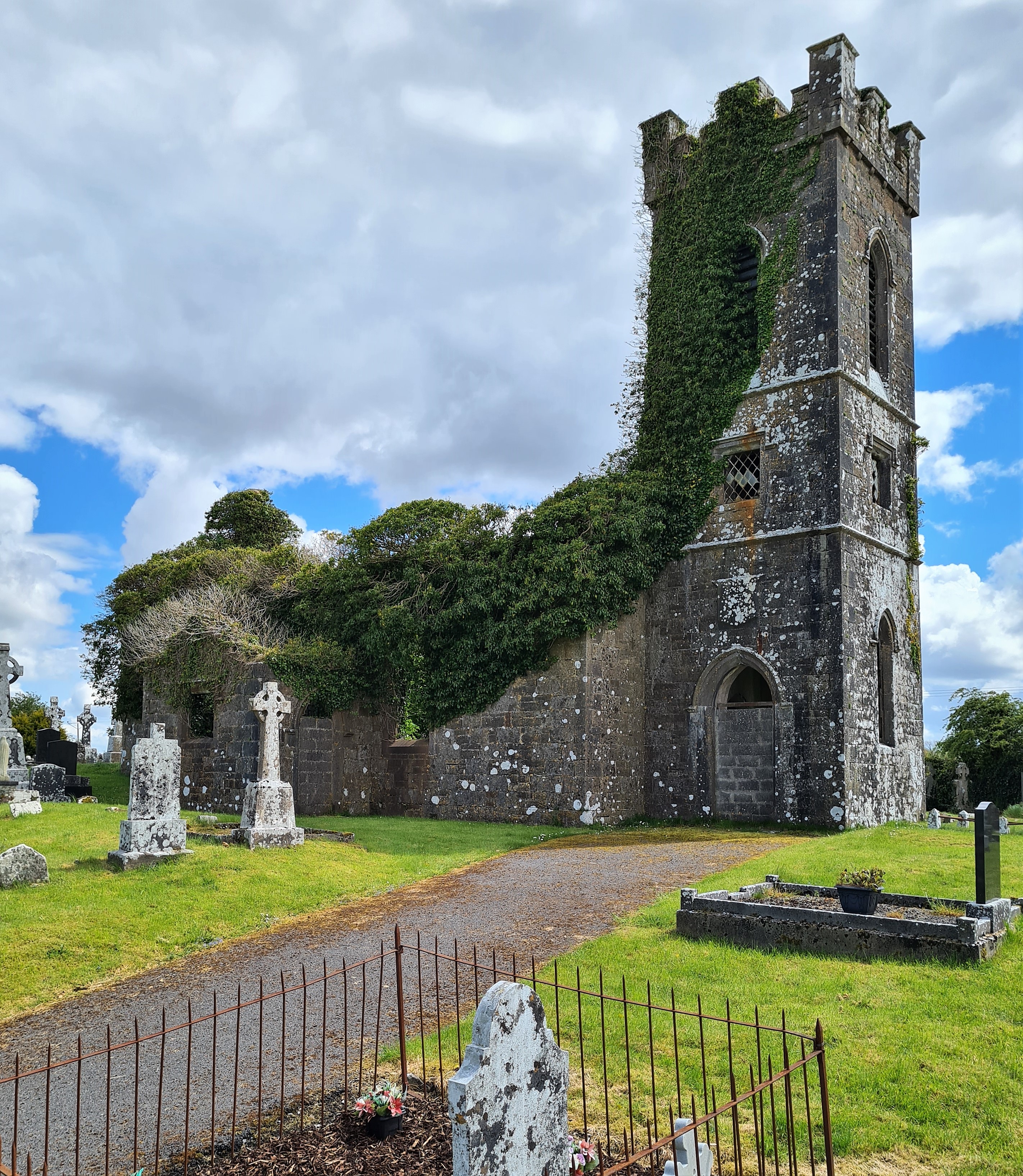 Ritual siteRitual site, holy/saint's stone · 1.2 mi
 Templerooaun (in Ruins)Church · 1.6 mi
 Crow IslandIslet · 1.6 mi
 Inch IslandIslet · 2.1 mi
 Castle PointHeadland · 2.2 mi
 Curlew MountainsMountain / peak · 3.0 mi
 Rose PointHeadland · 3.0 mi
 Carricknahorna EastMountain / peak · 5.7 mi