What is recorded here
Fairy fort in Loughgur: an oval stone ring, thirty-two metres across, set on a SE-facing pasture slope beside a cashel and standing stone. It vanished from the 1840 map, reappeared in 1897, and is now smothered in sod yet still visible from above. People may have lived there, marked it, or avoided it; the stones keep their shape while the grass reclaims the rest.
In pasture on a slight SE-facing slope with goods views in all directions 130m WSW of the townland boundary with Cahercorney. Located 100m SW of the cashel (LI032-068----); 300m E of a standing stone (LI032-065----) and 400m NW of Knockbolg House (NIAH Reg. No. 21903217). The site is not depicted on the 1840 ed. OSi 6-inch map. Depicted as an oval embanked enclosure (ext. diam. c. 32m NE-SW; 25m NW-SE) with an opening (Wth. c. 5m) in the NE side on the 1897 ed. OSi 25-inch map. O’Kelly (1944, 28) described the cashel (LI032-068----) to the NE. The site is covered by sod that has accumulated over the bank or enclosure that defines the site visible on Google Earth orthoimages taken 28/06/2018 and 20/09/2020. The site may have originally been a cashel.
See attached Google Earth orthoimages
Compiled by: Edmond O’Donovan
Date of upload: 18 November 2020
See attached ASI aerial photograph ASIAP - 304/36 taken 13/09/2002.
The monument record does not grant public access. Check the route and ask the landowner before entering private land.
- What survives
- Recorded monument
Places near here
 Knockbologue Househouse · 455 yd
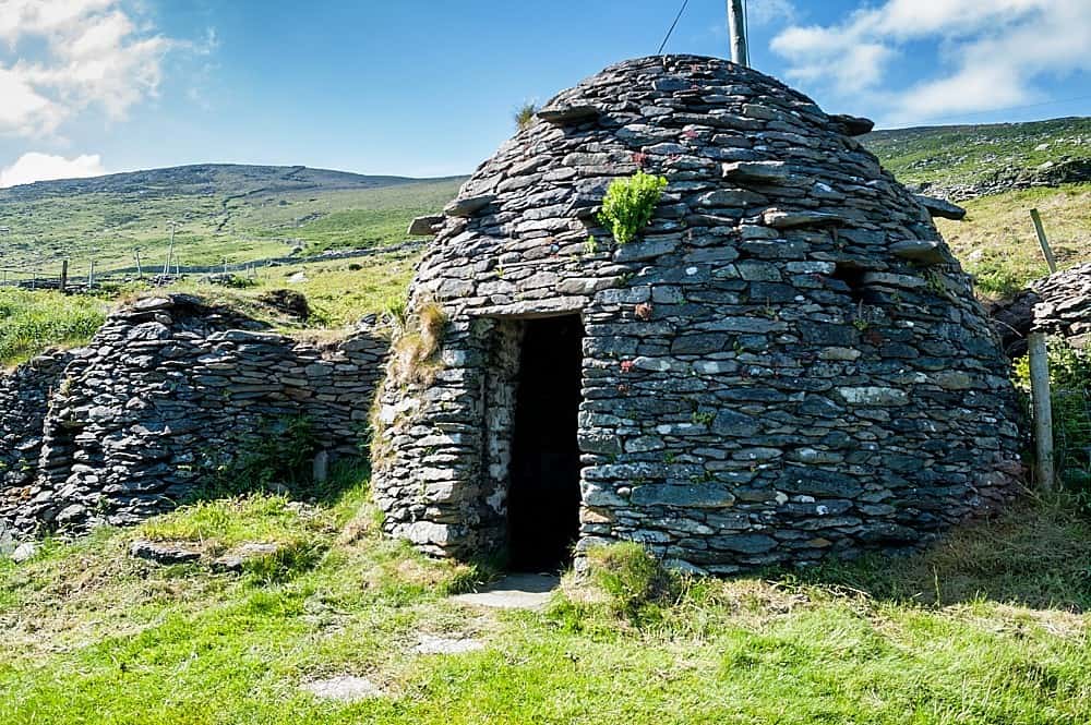 Hut site in LoughgurHut site · 548 yd
 Lough Gur OArchaeological place · 629 yd
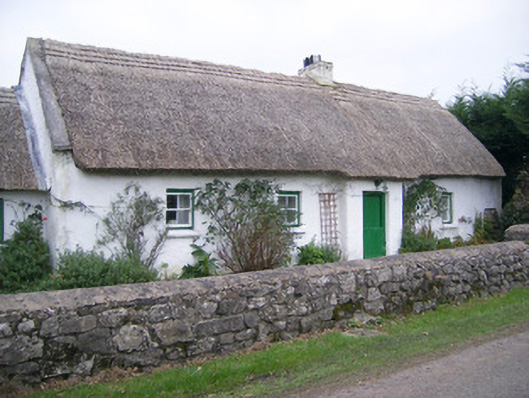 Maura's Cottagehouse · 940 yd
 Lough Gur Heritage CentreVisitor information · 1343 yd
 Pedunculate OakPedunculate Oak · 1397 yd
 The SpectaclesVisitor information · 1449 yd
 Black Castle (in ruins)Castle, tower house · 1660 yd
 OultinedBawn · 1.1 mi
 Grange Stone CircleArchaeological place · 1.7 mi
 Lough GurVisitor information · 1.7 mi
 Glen BogForest · 2.0 mi