What is recorded here
Knockainy West 2 is a small cashel where a double kerbed wall still curves along the southern edge, enclosing perhaps fifteen metres of forgotten life. The name fairy fort invites laughter or fear, but the stones suggest something plainer: a household that stood its ground against weather and time. Inside that shallow circle, a person may have born children, buried bread crumbs, or watched storms pass without breaking the wall. The north side has given way, yet the southern curve remains sharp enough to prove the shape was chosen, not dropped.
Small stone enclosure listed as Knockainy West 2 and described by Grogan (1989, 286) as a small circular-shaped area (max. dims. 15m x 10m) defined on S side only by a double kerbed wall.
Compiled by: Caimin O'Brien
Date of upload: 09 August 2019
See attached ASI aerial photographs ASIAP – 344/15 date taken 05/01/2003; 304/24 and 304/25 taken on 13/09/2002.
The monument record does not grant public access. Check the route and ask the landowner before entering private land.
- What survives
- Recorded monument
Places near here
 Mullach an Triuir - HachuredBarrow, ring-barrow · 347 yd
 KnockainyMountain / peak · 353 yd
 Doonainy, HachuredMound · 371 yd
 Knockainy Castle (in ruins)Castle, tower house · 839 yd
 Knockainy Creamerycreamery · 929 yd
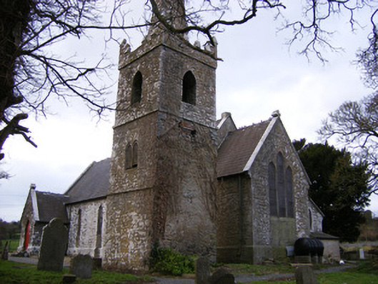 Saint John's Church (Knockainy)church/chapel · 946 yd
 Desmond Castle (in ruins)Castle, unclassified · 1086 yd
 Flat cemetery in Knockainy WestFlat cemetery · 1.0 mi
 Glen BogForest · 1.5 mi
 Kilteely HillMountain / peak · 4.4 mi
 St Patrick's WellSpring · 4.5 mi
 St. Patrick's WellSpring · 4.8 mi