What is recorded here
Killarcan holds a broken stone ring on a rock outcrop, wide enough for thirty paces and narrow enough to feel like a chamber rather than a field. Its south gate still shows two flanking slabs, while the rest of the wall has been buried under soil and forgotten work. People may have lived there, or simply marked the edge of a place they did not fully understand. Either way, the stones kept their shape long after the hands that set them disappeared.
Situated on top of rock outcrop. This is an overgrown subcircular area (dims c. 35m E-W; c. 30m N-S) defined by the remains of a revetted wall with intermittently visible inner and outer facing-stones (Wth 2.3m; max. H 0.95m at S). The wall is largely obscured by field spoil S-N. The entrance (Wth 1.55m), flanked by slabs, is at S.
The above description is derived from 'The Archaeological Inventory of County Leitrim' compiled by Michael J. Moore (Dublin: Stationery Office, 2003). In certain instances the entries have been revised and updated in the light of recent research.
Date of upload: 23 September 2008
The monument record does not grant public access. Check the route and ask the landowner before entering private land.
- What survives
- Recorded monument
Places near here
 fortsFairy fort / earthen ringfort · 920 yd
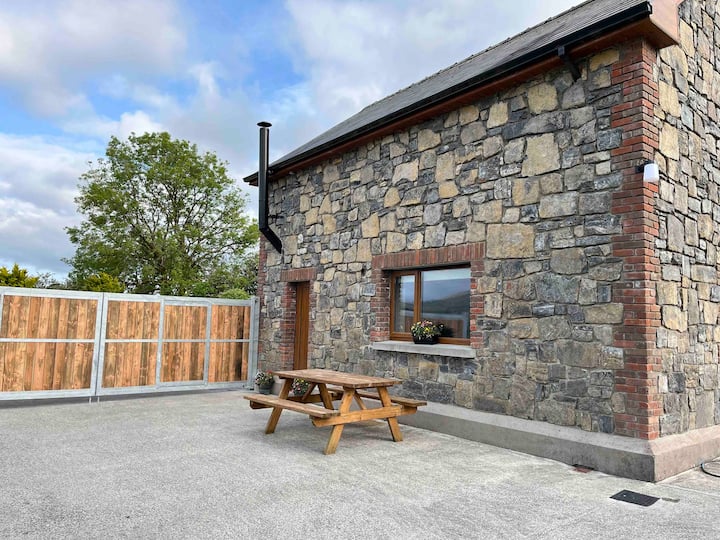 Enclosure in BallinwingEnclosure · 988 yd
 Leabaidh DermotCave · 1467 yd
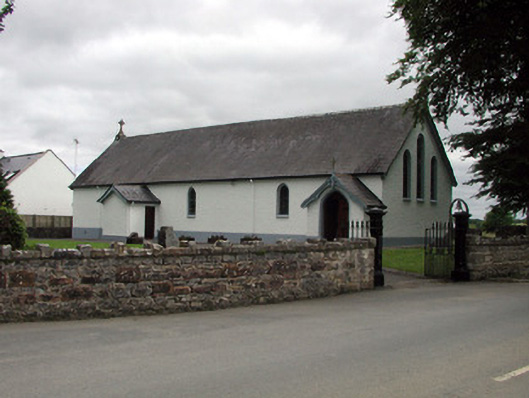 Saint Joseph's Catholic Churchchurch/chapel · 1.1 mi
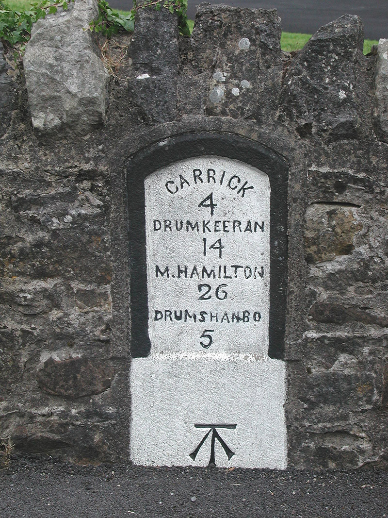 milestone/milepostmilestone/milepost · 1.1 mi
 Shannon-Erne WaterwayVisitor information · 1.1 mi
 Sit of Breifny CastleCastle, tower house · 1.1 mi
 Sheemore Ambush MemorialMonument · 1.2 mi
 Battle of Áth an Chipbattle · 1.6 mi
 PortCastle, unclassified · 1.8 mi
 InishnagonIsland · 2.0 mi
 Derreenargan WoodWood · 3.8 mi