What is recorded here
On the S facing slope of a high ridge running E-W in undulating countryside. Circular area (36m E-W; 34m N-S) enclosed by an earth and stone bank (Wth 1.5m; int. H 1m; ext. H 1.5m) best preserved at N with slight evidence of an external fosse in places with no evidence of an entrance feature. There are two low mounds of loosely piled stones in the E sector of the site possibly the result of field clearance. There is a low field wall running E-W from the W edge of the ringfort to the centre where it abruptly ends. In some places especially at N this site has a cashel like appearance.
The above description is derived from the published 'Archaeological Inventory of County Offaly' (Dublin: Stationery Office, 1997). In certain instances the entries have been revised and updated in the light of recent research.
Date of upload: 23 May 2011
The monument record does not grant public access. Check the route and ask the landowner before entering private land.
- What survives
- Recorded monument
Places near here
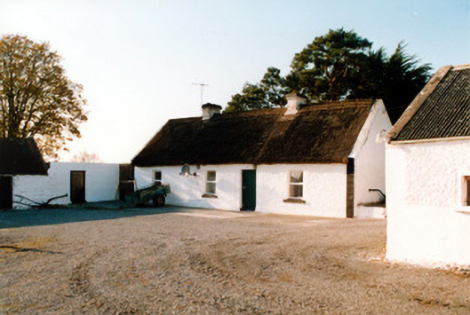 farm housefarm house · 323 yd
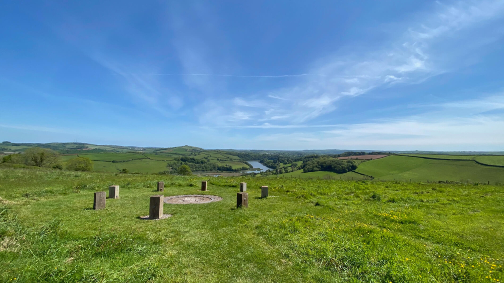 Killaghintober Burial GdBurial ground · 402 yd
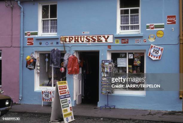 Devries ShopRuins · 465 yd
 StructureStructure, peatland · 776 yd
 Castle ArmstrongHouse, fortified house · 1620 yd
 Kilnagarnagh Old Ho.Castle, unclassified · 1.7 mi
 Cocta HillMountain / peak · 4.4 mi
 Endrim HillMountain / peak · 4.4 mi
 European ashEuropean ash · 4.5 mi
 Saint Reaghan's WellSpring · 4.5 mi
 Ballylin Bog BoardwalkHeritage attraction · 4.6 mi
 The Bob Traynor GalleryGallery · 5.0 mi