What is recorded here
In pasture, located on a knoll with a steep slope on the S side, and extensive views.
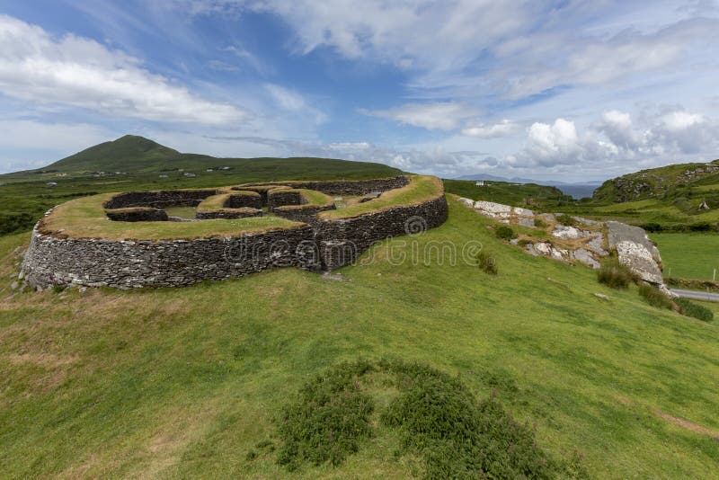
Raised circular area (25m N–S; 23.5m E–W) enclosed by a drystone wall. The wall (Wth 1.6-2m; ) is low and collapsed internally, surviving mainly as a stone-faced scarp (H 1.4m at S, 1.8m at NW, 1.9m at E), with evidence of rebuilding or modification as a result of incorporation into a later system of field walls. The interior has a slight slope down to S–SE in the S third. It is crossed, to W of centre, by a field wall on a roughly N–S axis. There is a small heap (3m N–S; 1.8m E–W; H 0.8m) of stones in the SW quadrant, probably field clearance. Heaps of field clearance stones abut the exterior face of the wall at N–NE. The perimeter is lightly ringed with hawthorn, hazel and oak trees.
The enclosure is locally called ‘the caistleen’ and there is a local tradition of a Man-made underground passage (MA073-060002-) in the interior.
Compiled by: Jane O’Shaughnessy
Date of upload: 22 June 2021
The monument record does not grant public access. Check the route and ask the landowner before entering private land.
- What survives
- Recorded monument
Places near here
 Cashelgal FortFairy fort / stone ringfort · 724 yd
 IndicatedEnclosure · 1082 yd
 farm housefarm house · 1141 yd
 Catholic Church of the Immaculate Conceptionchurch/chapel · 1.0 mi
 Crunaun Castle (in ruins)Castle, unclassified · 2.3 mi
 Casatle (ruins)Castle, unclassified · 2.8 mi
 Bockagh HillMountain / peak · 4.5 mi
 East Mayo Brigade MonumentMemorial · 7.8 mi
 Bawn IslandIslet · 9.5 mi
 Coolougher WoodForest · 10.0 mi
 Rose PointHeadland · 10 mi
 Crow IslandIslet · 10 mi