
What is recorded here
In pasture, located on top of a roughly E–W ridge.
This enclosure is indicated as ‘Old Grave Yd.’ on the 1838 OS 6-inch map and as ‘Children’s Burial Ground’ (MA074-010002) on the 1920 edition. It has been partly levelled. It survives as a slightly raised, broadly oval area (36m N–S; c. 39m E–W) defined N–SSW by a sod-covered stony bank/scarp. At N–NE the stone bank is reduced to a broad grassy rise (Wth 4.8m; int. H 0.6m; ext. H 0.65m), with a break (Wth 6m) at NE; at E–S it is evident as a stony scarp (ext. H 1.6m) and at S–SW as a stony bank (Wth 3.6m; int. H 0.3m; ext. H 1.2m). The enclosing element has been levelled SW–NNW but a slightly raised undulation can still be traced.
This enclosure may be a modified ringfort, reused as a burying ground (MA074-010002-).
The perimeter N–S is ringed with hawthorn and heaps of field clearance stone; the interior is grassy. There is a cashel (MA074-009----) 125m to NW.
Compiled by: Jane O’Shaughnessy
Date of upload: 1 June 2021
The monument record does not grant public access. Check the route and ask the landowner before entering private land.
- What survives
- Recorded monument
Places near here
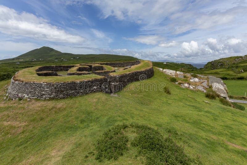 Cashelgal FortFairy fort / stone ringfort · 1.0 mi
 LissydalyArchaeological place · 1.1 mi
 farm housefarm house · 1.1 mi
 Catholic Church of the Immaculate Conceptionchurch/chapel · 1.6 mi
 Crunaun Castle (in ruins)Castle, unclassified · 2.0 mi
 Casatle (ruins)Castle, unclassified · 2.9 mi
 Bockagh HillMountain / peak · 4.8 mi
 East Mayo Brigade MonumentMemorial · 8.0 mi
 Bawn IslandIslet · 9.3 mi
 Coolougher WoodForest · 9.4 mi
 Rose PointHeadland · 10 mi
 Castle PointHeadland · 10 mi
Other information
Photo: Credit not shown in the picture search · Rights wording not checked; contact us if this picture should be removed