What is recorded here
Kealanine holds a 34-metre stone ring on a sharp ridge break, marking a place where human hands shaped the land before memory faded. Its two narrow gaps face WSW and NNW, inviting entry or escape rather than blocking either. The fairies may have taken the name, but the stones still belong to the people who lived there.
In pasture, on lower SE-facing slope of NE-SW ridge just above sharp break in slope. Circular, slightly raised area (34m N-S; 34m E-W) enclosed by dump-construction stone bank (max. H 1.2m), topped by later stone wall. Break in bank to WSW (Wth 2.5m) and NNW (Wth 2.7m). Cultivation ridges cross interior on E-W axis; cairn of dumped stones abuts inside of bank to E.
The above description is derived from the published 'Archaeological Inventory of County Cork. Volume 1: West Cork' (Dublin: Stationery Office, 1992). In certain instances the entries have been revised and updated in the light of recent research.
Date of upload/revision: 14 January 2009
The monument record does not grant public access. Check the route and ask the landowner before entering private land.
- What survives
- Recorded monument
Places near here
 Wedge tomb in Kealanine (carbery W. (w.d) By.)Wedge tomb · 427 yd
 Fulacht FianFulacht fia · 488 yd
 Dromore Schoolschool · 1.4 mi
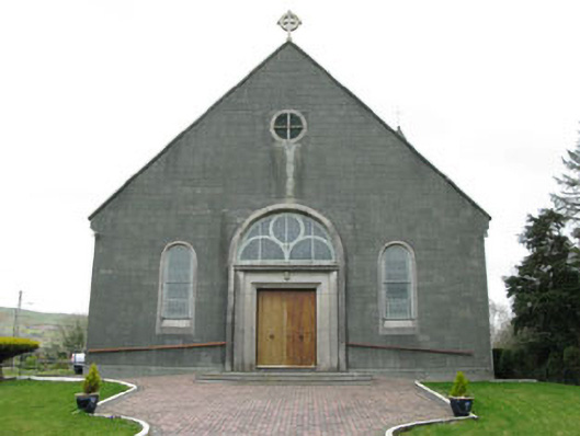 St. Joseph's Roman Catholic Churchchurch/chapel · 1.7 mi
 Moyny Bridge WalkWalking route · 2.2 mi
 Francis O'Neill PlaqueMemorial · 2.3 mi
 Delish Cascade WalkWalking route · 2.4 mi
 Castle DonovanCastle · 2.4 mi
 Castle Donovan (in Ruins)Castle, tower house · 2.4 mi
 Mullach MéiseMountain / peak · 2.9 mi
 Nowen Hill SW TopMountain / peak · 4.2 mi
 Snave StrandBeach / strand · 7.2 mi