What is recorded here
Thirty years of ownership and no human trace. The chamber holds a buried chamber, a forgotten chamber, a living chamber. The distinction between memory and fantasy collapses when the chamber stops resisting observation. What is remembered is a chamber. What is imagined is a chamber. The chamber is a chamber.
Internal diam. 18m. A D-shaped site, due to modern encroachment on its N side. It comprises of a stone wall surviving up to .5m high. There are gaps in the N, E and S sectors. Two rectangular structures outside the NE sector are probably modern. It is situated in rocky grazing land on the N slope of a hill.
The above description was derived from the 'Archaeological Survey of County Donegal. A description of the field antiquities of the County from the Mesolithic Period to the 17th century.' Compiled by: Brian Lacey with Eamon Cody, Claire Cotter, Judy Cuppage, Noel Dunne, Vincent Hurley, Celie O'Rahilly, Paul Walsh and Seán Ó Nualláin (Lifford: Donegal County Council, 1983). In certain instances the entries have been revised and updated.
Date of upload: 22 September 2008
The monument record does not grant public access. Check the route and ask the landowner before entering private land.
- What survives
- Recorded monument
Places near here
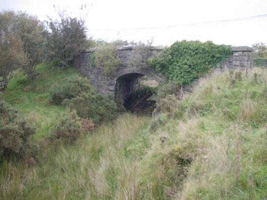 Meenglass Station Bridgebridge · 1251 yd
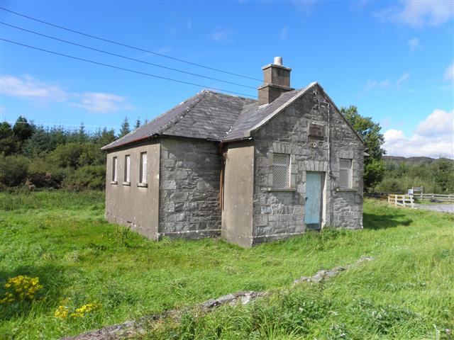 Meencarrigach National Schoolschool · 1515 yd
 Enclosure in TruskEnclosure · 1.4 mi
 Enclosure in DooishEnclosure · 2.2 mi
 Lough HillMountain / peak · 2.7 mi
 Drumboe WoodForest recreation place · 2.8 mi
 Gorey HillMountain / peak · 3.7 mi
 Castle (Site of)Castle, unclassified · 4.6 mi
 Killeter ForestForest · 6.7 mi
 Ard na Mona WoodOfficial walking route · 10 mi
 Old CastleCastle, tower house · 11 mi
 MurvaghOfficial bathing water · 18 mi