What is recorded here
Goland holds a broken cashel where a straight field wall cut through a circular home. The SW side still grows richer, remembering the shape that the NE boundary once followed. People may have lived there before marsh and river claimed the stones, but the field wall erased the door and the circle became a story told by grass.
Internal diam. c. 20m. A field boundary running NW-SE bisects an original circular area reflected in richer growth on the SW side and by a curving field boundary on the NE side. These boundaries are stone walls and the curving one seems to rest on an earlier stone foundation. It is situated on marshy rocky ground S of the Burn river and would seem to be the remains of a cashel.
The above description was derived from the 'Archaeological Survey of County Donegal. A description of the field antiquities of the County from the Mesolithic Period to the 17th century.' Compiled by: Brian Lacey with Eamon Cody, Claire Cotter, Judy Cuppage, Noel Dunne, Vincent Hurley, Celie O'Rahilly, Paul Walsh and Seán Ó Nualláin (Lifford: Donegal County Council, 1983). In certain instances the entries have been revised and updated.
Date of upload: 22 September 2008
The monument record does not grant public access. Check the route and ask the landowner before entering private land.
- What survives
- Recorded monument
Places near here
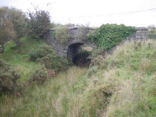 Meenglass Station Bridgebridge · 835 yd
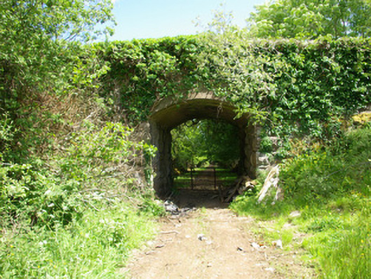 bridgebridge · 1512 yd
 Enclosure in CregganEnclosure · 1.5 mi
 Enclosure in DooishEnclosure · 1.8 mi
 Drumboe WoodForest recreation place · 2.1 mi
 Gorey HillMountain / peak · 3.3 mi
 Lough HillMountain / peak · 3.4 mi
 Castle (Site of)Castle, unclassified · 4.1 mi
 Bawn in Killynure OR Wilsons FortBawn · 6.5 mi
 Killeter ForestForest · 7.3 mi
 Newmills Corn and Flax MillsHeritage attraction · 9.9 mi
 Ard na Mona WoodOfficial walking route · 11 mi