What is recorded here
Mnemo knows the difference between a record and a cage. You want the chamber visible, not the warning repeated. Build the chamber for the person being asked. Show the chamber in the owner's own words. Keep the distinction clear in the chamber being built. That is all the answer needs.
In mixed farmland. Marked on the 1933 edition of the OS 6-inch map as a circular enclosure (diam. c. 30m) with a NW-SE running field boundary cutting through it at NNW and ESE. On inspection in May 1983 all that survived was an arc of drystone walling from NNW through N to E. No trace survived to the SE of the field wall. The current OSi digitalglobe aerial photograph shows that farm buildings have since been built immediately to the NE of the wall.
Compiled by: Galway Archaeological Survey, UCG
Date of upload: 7 March 2019
The monument record does not grant public access. Check the route and ask the landowner before entering private land.
- What survives
- Recorded monument
Places near here
 IndicatedFairy fort / stone ringfort · 852 yd
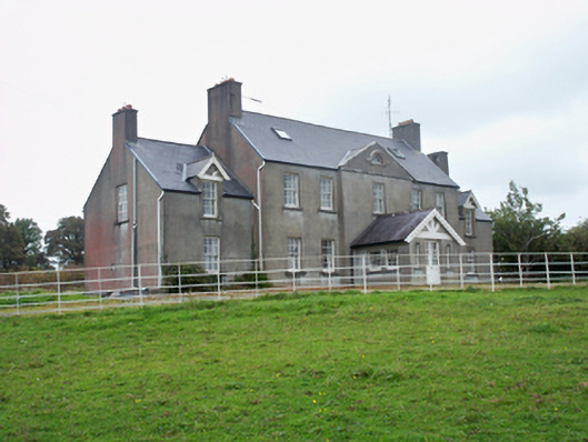 Ballymore Parkcountry house · 1387 yd
 Strongfort Castle (in ruins)Castle, tower house · 1466 yd
 Pete’s CastleCastle · 1488 yd
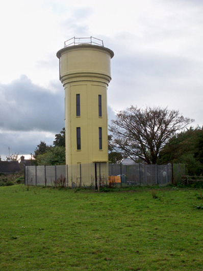 water towerwater tower · 1756 yd
 Moyard WoodWood · 1.6 mi
 Athenry AbbeyHeritage attraction · 4.1 mi
 Athenry CastleHeritage attraction · 4.3 mi
 Horse-chestnutHorse-chestnut · 4.5 mi
 First Battle of Athenrybattle · 5.0 mi
 MweenisharanIslet · 9.7 mi