What is recorded here
No visible wall remains, only a hidden line of large limestone blocks and a steep natural scarp marking the edge of the hilltop. The fort is a shallow oval basin, wide enough for several houses or a hundred people turning around, with a causeway leading across a dip in the ridge. Local tradition speaks of an underground passage within it, which is either a memory of a lost doorway or a warning about what the ground can conceal.
In pasture, encompassing the summit of a hill/small ridge, with good views in all directions over the surrounding, sharply undulating, limestone terrain. This cashel consists of a roughly oval area (41m E-W; 27.7m N-S), its outline in plan determined by the available space on the hill summit. The original enclosing element appears to have been a stone wall but this has been almost entirely removed, with remnants of an external stone facing or kerb of large limestone blocks still visible only at E-S. At W the cashel is defined by a scarp (H c. 0.8m), and elsewhere by a scarp that merges with the steep natural slope of the hill. The interior area is largely level, except at the E edge where there is an irregular-shaped sod-covered rise (max. dim. c. 8-10m). A low, sod-covered linear rise, barely discernible, forms an internal division extending across the middle of the interior on a NNW-SSE axis. In the SW quadrant the ground slopes down to S, where there is a slightly sunken entrance gap (L c. 8m; Wth c. 2m), defined on the W side by close-set stones. It leads to a low causeway (Wth c. 2m) which extends for c. 10-12m to SSE across a natural dip in the contour of the ridge. According to local tradition, there was a stone-built Man-made underground passage (MA121-024007) within the cashel. There is a ringbarrow (MA121-191) located 10m to NNW, and an enclosure (MA121-02400-3) c. 40m to SSE.
Compiled by: Jane O'Shaughnessy
Date of upload: 22 December 2014
The monument record does not grant public access. Check the route and ask the landowner before entering private land.
- What survives
- Recorded monument
Places near here
 Enclosure in Frenchbrook SouthEnclosure · 243 yd
 IndicatedFairy fort / stone ringfort · 853 yd
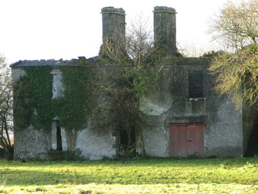 Fountainhillfarm house · 1216 yd
 Bawn in Cregduff (kilmaine By., Kilmainemore Par.)Bawn · 1435 yd
 Church in ruinsChurch · 1656 yd
 Bawn in Kilkeeran (kilmaine By., Kilmainebeg Par.)Bawn · 1.3 mi
 Cregg PlantationForest · 3.5 mi
 European YewEuropean Yew · 3.6 mi
 Gibbs IslandsIslet · 4.8 mi
 LabbadermotCave · 5.1 mi
 Easter IslandIslet · 5.3 mi
 School of FalconryHeritage attraction · 6.5 mi