What is recorded here
ituated on a very gradual SE slope overlooking the flood-plain of the River Suir. An irregularly shaped area (diam. 36.4m NE-SW; 35m NW-SE), almost D-shaped, with a trackway running parallel to the fairly straight SW side. The site is enclosed by a stone wall (Wth c. 1.4m; int. H 0.77m; ext. H 1m), which has collapsed for much of its circumference, and a fosse (W 3.3m; D 0.4m) and outer wall (Wth 1.2m; ext. H 0.7m) in the SE quadrant. There is an entrance (Wth 4.1m) through the inner and outer wall at SE with almost continuous stone-facing lining the entrance. Where the wall is denuded there is evidence of stone revetment with stone fill between. Rock outcrop is exposed in places in the interior. Large boulders in linear alignment are all that remain of the outer wall at N. The interior is heavily overgrown with scrub making it difficult to obtain a clear overall picture of the site.
The above description is derived from 'The Archaeological Inventory of County Tipperary. Vol. 1 - North Tipperary' compiled by Jean Farrelly and Caimin O'Brien (Dublin: Stationery Office, 2002). In certain instances the entries have been revised and updated in the light of recent research.
Date of upload/revision: 22 September 2008
The monument record does not grant public access. Check the route and ask the landowner before entering private land.
- What survives
- Recorded monument
Places near here
 Beakstown Mills (disused)Water mill, unclassified · 638 yd
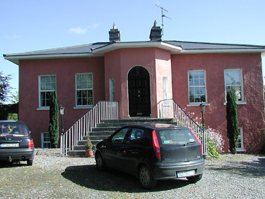 Beakstown Cottagehouse · 657 yd
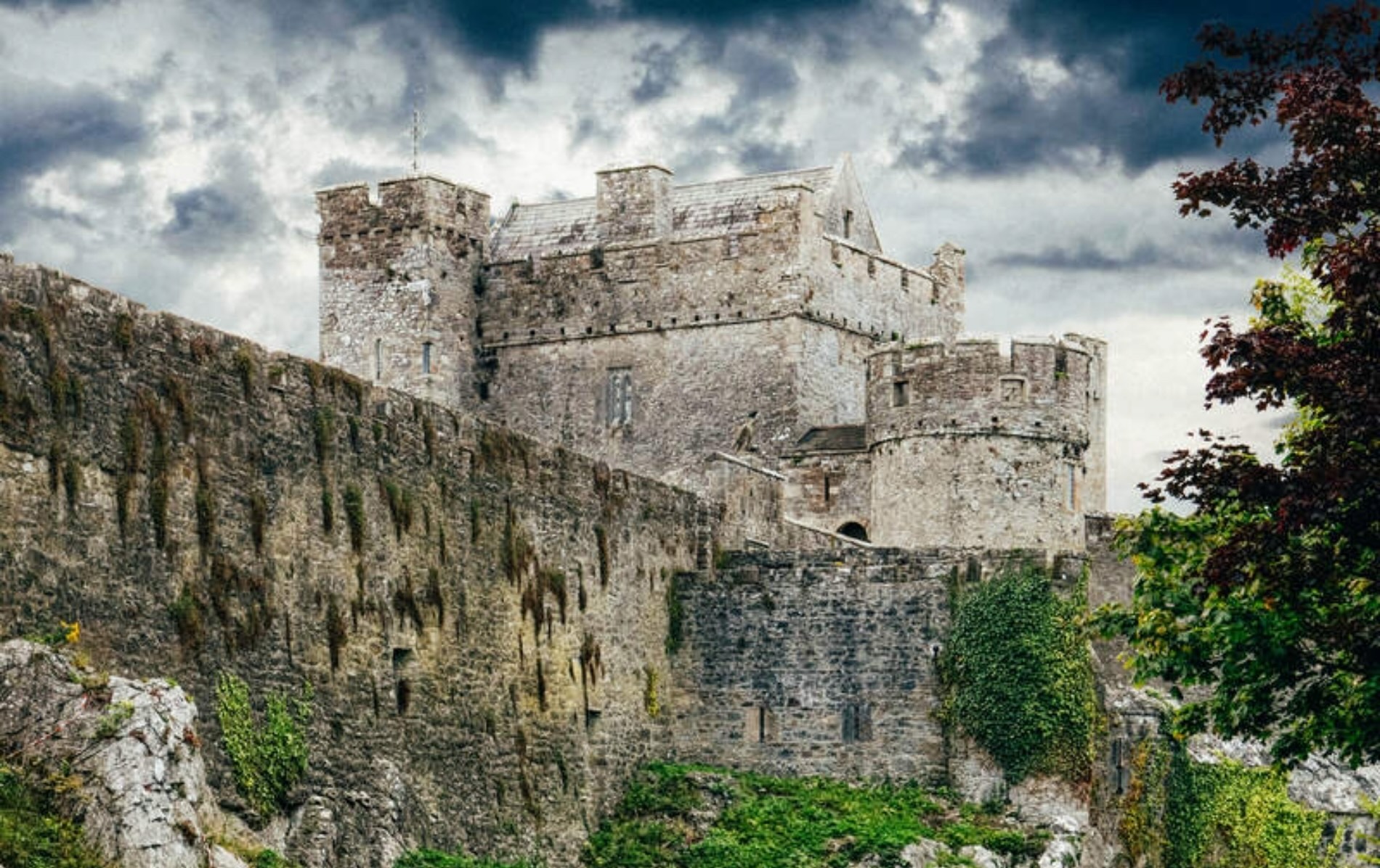 Castle (Site of)Castle, unclassified · 686 yd
 Beakstown HouseCastle, unclassified · 720 yd
 Abbey WellHoly well · 1354 yd
 Enclosure in GraiguenoeEnclosure · 1619 yd
 Cormackstown Heritage CentreMuseum · 1.2 mi
 Wildlife CorridorWood · 2.2 mi
 WoodlandWood · 2.6 mi
 Lár na PáirceMuseum · 2.7 mi
 Killough Hill (site of)Mountain / peak · 2.8 mi
 Horse and JockeyVisitor information · 4.8 mi