What is recorded here
No visible fort remains at Fanningstown, but the ground still holds two rectangular stone foundations and a collapsed rampart on a loose sand hillock. The larger house measured twenty-three metres, its double-faced walls rising no higher than a knee before fences and blackthorn erased the rest. Pig and ox bones lay buried in red charcoal soil near the northeast edge, suggesting people cooked and lived there before the land swallowed their marks.
Ringfort containing two house sites (LI022-043005-) described in 1943 as, 'built on the top of a low hillock composed of sands and gravels. This material is very loose and easily crumbles away. As this happened, the stone rampart of the fort slipped down the slope and is now very collapsed. On the west and south modern fences have cut into and further destroyed the fort on these sides. As well as this, the fort became so densely overgrown with blackthorn bushes as to be impenetrable. This undergrowth has recently been cleared away and during this process the fort has suffered considerably. A fosse surrounded the fort, but this is gone on the west and south sides. The overall diameter is 150' [45.7m]. Inside the southern break in the rampart are two rectangular stone-walled structures. The larger one of these runs east and west and measures 75' [23m] by 25' [7.6m]. Its walls are about 2' 6" [0.76m] thick and consist of two faces with a rubble and earth core. These walls remain to a height of from one to three feet. On the southern long side of this house there is a break in the wall. One side of this ope has a carefully built jamb, but the other is collapsed and not clearly visible. This may have been the entrance. It is 12' 6" [3.8m] from the west end of the long wall. There is a break nearly opposite to this on the northern long wall, but this does not seem to be original. The walls of the structure are highest at the western end.
The second house runs north and south. Its southern end is in the same straight line as the southern long wall of the first house, and its western wall is built against the east wall of the larger house. Where the two houses are connected the wall is of double thickness, and consists of two seperate walls built against one another. This house measures 40' [12.2m] by 20' [6m]. The entrance is not recognisable. The walls are the same as those described above for the first house, and they remain to the same height. At a point inside the rampart on the N.E. side of the fort, where a bush had been recently dug out, were found some bone fragments, jaws of pig and ox. The soil surrounding them is burnt red and contains charcoal. In the next field to the north of this fort is a sand pit from which bones have come. There were no associated finds'. (O'Kelly 1943, 225-6).
See attached plan of site taken from O'Kelly 1943
Compiled by: Caimin O'Brien
Date of upload: 03 January 2019
The monument record does not grant public access. Check the route and ask the landowner before entering private land.
- What survives
- Recorded monument
Places near here
 Church (in ruins)Church · 103 yd
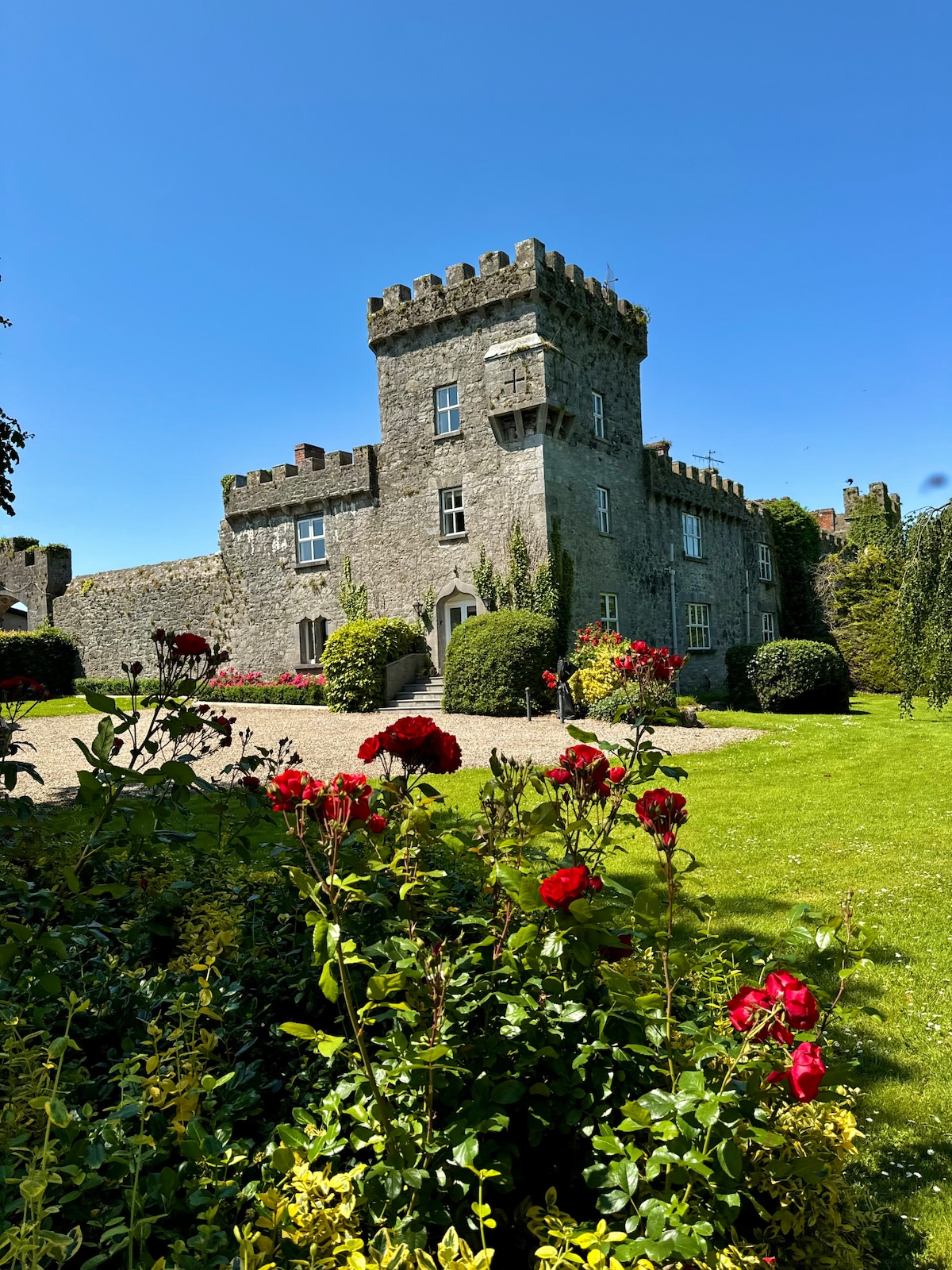 Enclosure in Fanningstown (smallcounty By.)Enclosure · 869 yd
 Partially indicatedBawn · 887 yd
 Cloghane Bridgebridge · 1092 yd
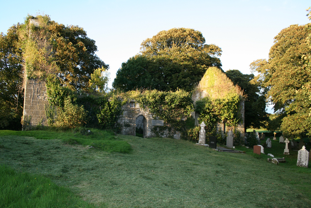 Enclosure in Boherload,carnaneEnclosure · 1126 yd
 Carnane RockNamed rock · 1511 yd
 Bawn in Raheen (clanwilliam By., Roxborough Ed)Bawn · 1681 yd
 ToberauillinSpring · 1.1 mi
 Villiers WellSpring · 1.6 mi
 Skool HillMountain / peak · 2.5 mi
 Monasteranenagh AbbeyHeritage attraction · 5.1 mi
 Grange Stone CircleArchaeological place · 5.2 mi