What is recorded here
Magic and mathematics both circle in Doolin. One ring is twenty-six metres across, shallow enough for grass to swallow its edge, while a second ring waits fifty metres southeast like a forgotten echo. The first may have been a home, a boundary marker or a child's guessing game made permanent. People dropped marbles, drew lines and argued about shape until the land agreed with them.
In an area of undulating rough pasture and limestone outcrops, and within a field system (CL008-057001-). A subcircular cashel (diam. c. 26m) defined by a low, grassed-over stone wall, overlain by a later field wall in the SE sector, is visible on Digital Globe (2011-2013) and was noted by Conn Herriott. A second cashel (CL008-155----) lies c. 50m to the SE.
Compiled by: Gearóid Conroy
Date of upload: 6 December 2022
The monument record does not grant public access. Check the route and ask the landowner before entering private land.
- What survives
- Recorded monument
Places near here
 Enclosure in DoolinEnclosure · 275 yd
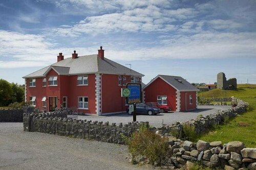 Enclosure in DoonmacfelimEnclosure · 315 yd
 Doonmacfelim Castle (in Ruins)Castle, tower house · 792 yd
 Church in BallaghalineChurch · 986 yd
 bridgebridge · 998 yd
 Fisherstreet PotCave · 1072 yd
 Doolin FerriesHeritage attraction · 1157 yd
 Wild Atlantic Way: Doolin PierVisitor information · 1164 yd
 Doolin PointHeadland · 1300 yd
 Ballaghaline PointHeadland · 1446 yd
 Crab IslandIslet · 1655 yd
 CastleCastle, unclassified · 1.0 mi