What is recorded here
Mnemo failed the first time because she answered with nothing. She is still learning to distinguish a new request from an abandoned one.
Situated on a slight rise in an undulating landscape with rock outcrop. Listed as 'Enclosure' in the SMR (1992) and the RMP (1996) and hachured as a circular enclosure (diam. c. 30m) on the 1842 and 1920 eds. of the OS 6-inch map. A D-shaped overgrown area (dims. c. 30m E-W; c. 15m N-S) defined by an overgrown stone spread (Wth 4-6m; max. int. H 0.5m; ext. H 0.8-1m) W-E, but no facing stones are evident. The S part of the perimeter has been removed and the spoil runs E-W across the centre.
Compiled by: Micheal Moore
Date of upload: 3 May 2017
This remains an important historical record, but the official description says the monument is no longer visible or has been destroyed. The monument record does not grant public access. Check the route and ask the landowner before entering private land.
- What survives
- No visible remains or recorded as destroyed
Places near here
 Enclosure in Derry (bunratty Upper By.)Enclosure · 378 yd
 IndicatedFairy fort / stone ringfort · 767 yd
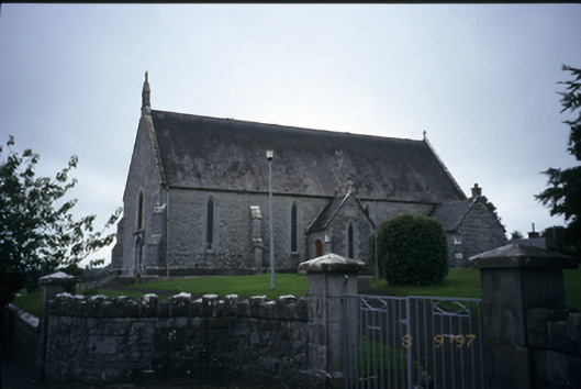 Catholic Church of the Immaculate Conceptionchurch/chapel · 1167 yd
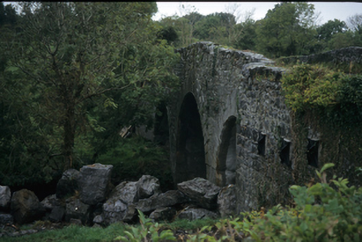 Nutfield Bridgebridge · 1370 yd
 CastleCastle, ringwork · 1.2 mi
 Ardcarney WoodWood · 1.2 mi
 Dromore WoodWood · 1.8 mi
 Portlecka Castle (in Ruins)Castle, tower house · 2.0 mi
 Ennis AbbeyMuseum · 3.5 mi
 Battle of TullyodeaBattlefield · 3.5 mi
 Clare MuseumMuseum · 3.7 mi
 Mulkere MemorialMemorial · 4.0 mi