What is recorded here
Situated in rolling pastureland in the midst of Cullaun (Timoney) standing stones (TN018-015----). The site utilises a natural hillock which has been built up around the edge with clay faced with stone to form a level interior. A slightly oval area (diam. 25.3m N-S; 28.8m E-W) defined by a stone wall (Wth 1.5m; int. H 0.4m; ext. H 0.7m) which is quite eroded. Stones were probably robbed to repair or build surrounding stone walls which run close to the W and S of the site. An entrance (Wth 2m) noted in the E sector (Stout 1984, 55) has been obscured by scrub and collapse and there is no evidence of an outer fosse. A mixture of trees, including ash, grow in the interior. The site is not typical in this area. Although there is a lot of outcrop this is the only cashel. Possibly a landscape feature.
The above description is derived from 'The Archaeological Inventory of County Tipperary. Vol. 1 - North Tipperary' compiled by Jean Farrelly and Caimin O'Brien (Dublin: Stationery Office, 2002). In certain instances the entries have been revised and updated in the light of recent research.
Date of upload/revision: 22 September 2008
The monument record does not grant public access. Check the route and ask the landowner before entering private land.
- What survives
- Recorded monument
Places near here
 Fulacht fia in Cullaun,timoney HillsFulacht fia · 639 yd
 Enclosure in Timoney HillsEnclosure · 753 yd
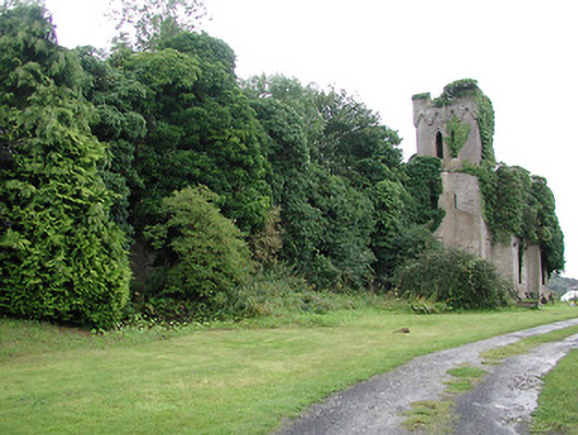 Timoney Parkcountry house · 1196 yd
 Garrabaun Church (in ruins)Church · 1294 yd
 Carricknasrock WoodWood · 1.2 mi
 Black HillMountain / peak · 1.6 mi
 Rockforest Ho.Castle, unclassified · 1.7 mi
 Castle (in Ruins)Bawn · 2.1 mi
 European BeechEuropean Beech · 3.2 mi
 Saint Kieran's WellSpring · 4.4 mi
 Roscrea Petty Sessions HouseHeritage attraction · 4.8 mi
 Millennium GardenMemorial · 5.1 mi