What is recorded here
Fairy fort / stone ringfort in Cuilsheeghary More is a fairy fort or stone ringfort in Cuilsheeghary More, County Sligo, Ireland. The circular area measures 19m E-W and 19m N-S on the narrow top of a NNW-SSE ridge overlooking Lough Arrow. A slight mossy rise marks the remnants of an enclosing wall, while several other cashels appear within a few hundred meters. The site is almost entirely levelled at SE-SSW but remains more easily traced at SW-NE.
In pasture, located on the narrow top of a NNW−SSE ridge, on the E flank of the Bricklieve Mountains, overlooking Lough Arrow to E−SE. The ridge slopes falls away steeply immediately to E, and somewhat more gradually on the W side, and to N, the spine of the ridge inclines gradually downwards. At E, the ridge slope drops to a lower ridge or broad terrace, where a cashel (SL040-126----) is located c. 150m to NE. Several other cashels are located within a radius of a few hundred meters, with a particular cluster c. 300m to W.
This enclosure is not shown on the 1837 and 1914 OS 6-inch maps. It has been levelled, but its outline can still be traced. It consists of a circular area (19m E−W; 19m N−S) defined by a slight mossy rise (Wth 1-1.4m), which represents the remnants of an enclosing wall/bank. It encompasses most of the available E-W width of the narrow ridge top, and on the E side coincides with the natural break of slope, where the ridge slope drops steeply.
The enclosing element seems most likely to have been a wall; the mossy cropmark would suggest this, and the majority of ringforts/enclosures in this area of the Bricklieves are cashels or stone enclosures. It is almost entirely levelled at SE−SSW, but is more easily traced at SW−NE. It appears to have been truncated at ESE−E by a shallow, subcircular depression (diam. c. 5m), now largely obscured by brambles.
In the N half of the interior there is an irregular-shaped, grassed-over pit or depression (4m NE−SW; 1m NW−SE; D 0.4m), with a shallower, narrower extension (L 1m) to NW at its SW end. It is bordered at top by a slightly raised rim. Its significance is uncertain, but there is no obvious evidence of stone lining or any structural features to suggest that it is a Man-made underground passage.
Slight remnants of a field wall, on an ENE-WSW axis, abut the enclosing wall at SW and NE, and extend downslope beyond the cashel.
Attached image: SL040-248----_01.JPG: viewed from N.
Compiled by: Jane O'Shaughnessy
Date of upload: 30 May 2018
The monument record does not grant public access. Check the route and ask the landowner before entering private land.
- What survives
- Recorded monument
Places near here
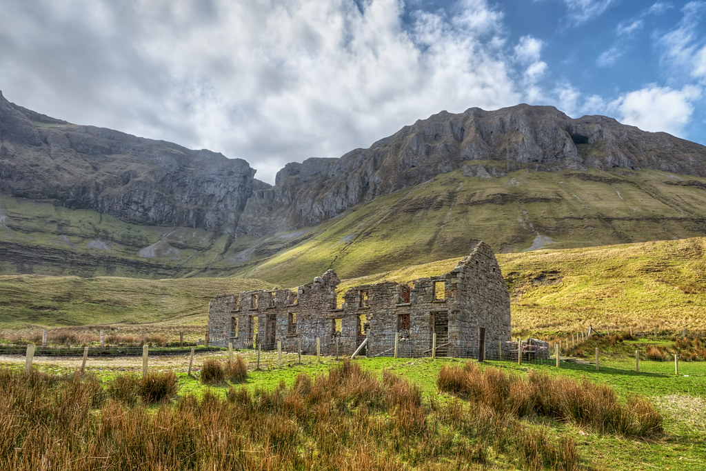 Indicated (1838).Fairy fort / stone ringfort · 261 yd
 CashelFairy fort / stone ringfort · 345 yd
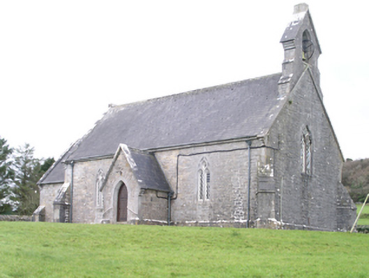 Aghanagh Churchchurch/chapel · 1059 yd
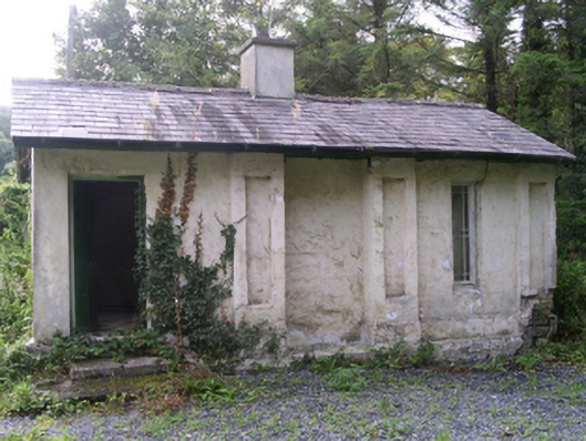 Hollybrook Housegate lodge · 1141 yd
 Carricknahorna EastMountain / peak · 1539 yd
 Ballinafad CastleCastle · 1.1 mi
 Muck IslandIslet · 1.5 mi
 Bricklieve MountainsMountain / peak · 1.5 mi
 Treanscrabbagh caveCave · 2.0 mi
 MoatCastle, motte · 2.1 mi
 Loughbrick BayBay · 2.2 mi
 InishmoreIslet · 2.3 mi