What is recorded here
The story claims a fairy fort, but the measure is human: a stone cashel at the southwest corner of a plateau, overlooking a ten-metre ravine. Its wall has thinned into a spread of rock, widest at the north and partly rebuilt into a drystone boundary on the east and south. The hazel has closed around the remains, turning a made place into a hidden one.
At the SW corner of a plateau, overlooking the cliff face of a ravine immediately to the S and W (H. c. 10m), in dense hazel growth. This cashel (int. dims. 16.6m N-S; 15.1m E-W; ext. dims. 27.4m N-S) is reduced to a stone spread that is widest at N (Wth 8m; int. H 1m; ext. H 0.7m). From E to S the spread material has been reused to build a drystone wall (H 1.3m) along the outer wall-face and here the spread is 3m wide. From S to NW the spread (Wth 2-2.5m) is flush with the interior but outer wall-facing is visible at the cliff edge. Field walls extend off it at NE, E and SE.
Compiled by: Olive Alcock and Lynda McCormack
Date of upload: 25 August 2022
The monument record does not grant public access. Check the route and ask the landowner before entering private land.
- What survives
- Recorded monument
Places near here
 Moravian ChurchChurch · 862 yd
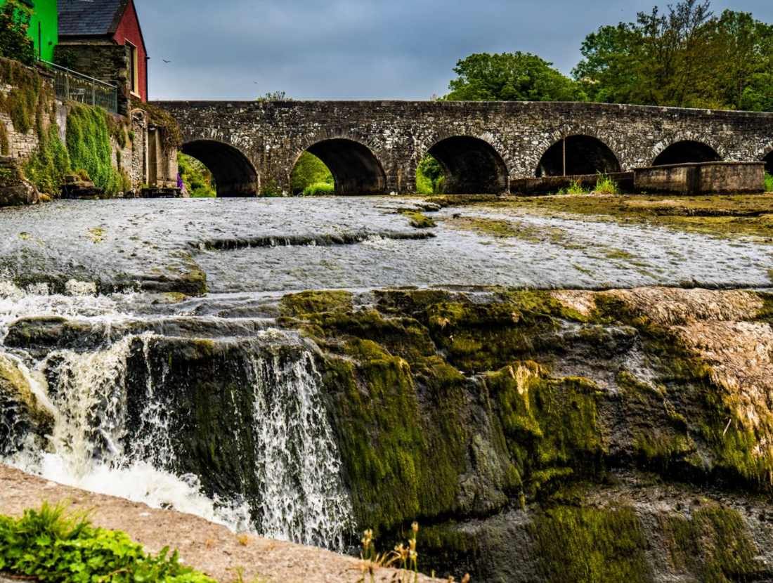 IndicatedEnclosure · 904 yd
 CaherFairy fort / stone ringfort · 1025 yd
 ‘De Clare’s House (in ruins)’ (1842 )Bawn · 1579 yd
 Fergus River CaveCave · 1632 yd
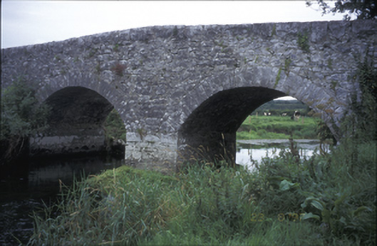 Poplar Bridgebridge · 1674 yd
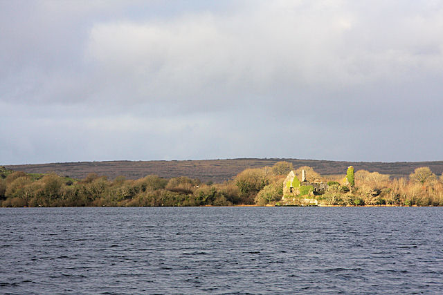 Inchiquin Castle (in ruins)Castle, tower house · 1706 yd
 Inchiquin IslandIslet · 1.2 mi
 Rock IslandIsland · 1.3 mi
 Farbrega RockNamed rock · 3.6 mi
 European ashEuropean ash · 4.5 mi
 Battle of TullyodeaBattlefield · 4.5 mi