What is recorded here
Fairy fort / stone ringfort in Creevymore is a fairy fort or stone ringfort in Creevymore, County Sligo, Ireland. The surviving northwest wall stands 1.8 to 2 metres high and encloses a roughly circular area 24 to 25 metres across. A stone faced berm supports the downslope half of the ring, while the southeast boundary has lost its wall and keeps only a faint curving ridge. A broken quern wheel is built into the field wall beside the southwest end of the fort.
In pasture, located on a terrace on a NW-facing slope. Ground rises gently to SE−S. There are extensive views to NW−NE, where ground falls away steeply in shallow terraces immediately to NW of the cashel, then slopes gradually down to a NE−SW valley of damp ground. Bunduff Lough is located c. 780m to NE towards the N limits of the wet land. High sand dunes rise on the opposite side of the valley, stretching N to the Mullaghmore peninsula. Trawalua Strand lies of W of the dunes. A small stream valley, located 380m to S and SE of the cashel, extends W and NW, with the stream debouching finally at Trawlua Strand.
This cashel is not indicated on the 1837 and 1912 OS 6-inch maps, however, a semicircular curve in a field boundary is indicated on both editions.
Roughly circular area (int. diam. 24-25m NE−SW) defined on the NW half by an intact drystone wall, outside which there is a stone-faced berm or terrace (Wth 2m; H 0.5-0.8); the enclosing wall has been removed on the SE half of the circuit, where the perimeter is defined now by a barely discernible curving undulation. The original entrance must have been somewhere on the destroyed SE arc.
The extant arc of wall (Wth c. 1m at top, c. 1.4m at base; ext. H 1.8-2m) is constructed of limestone rubble, using a random mix of large, rough stones and boulders. The exterior wall face inclines inwards gently towards the top. The interior wall face is entirely obscured by overgrowth, and the top of the wall is cloaked in ferns, ivy and brambles. The NE and SW terminals of the arc have collapsed into a slumped heap of loose moss-covered stones.
The berm/terrace is defined on its outer edge by a scarp faced with large stones and boulders. Much of the facing consists of a single course of large boulders (L 0.8-1m; H 0.5-0.6m), but in parts at SW two courses are evident. The surface of the terrace is grass-covered, and at W it is engulfed in blackthorn scrub. The terrace probably served to level up the cashel on its downslope SW half.
A substantial drystone field wall (Wth 1.4m; H 1.8-2.4m) abuts each terminal of the cashel wall and encloses the modern field. A fragment of a quern stone is built into the lower courses (c. 0.2m above ground) of the field wall, 4m to SW of the SW terminal of the cashel wall. It consists of half of one ‘wheel’ of a circular rotary quern (diam. 0.5m; T 0.08m), which has broken across its centre perforation (diam. 0.09m).
A church (SL002-007001-) and children’s burial ground (SL002-007002-) are located 100m to W; there is a rath (SL002-008001-) 280m to SSE, with a court tomb (SL002-010----) adjacent to it, and another megalithic tomb (SL003-033----) is located 290m to E.
Notified to the National Monuments Service by Mark Leonard.
Attached images:
SL002-060----_01.JPG Cashel viewed from W
SL002-060----_02.JPG Cashel viewed from N
SL002-060----_03.JPG External wall face at NW
SL002-060----_04.JPG incline of wall at NW
SL002-060----_05.JPG Berm/terrace at SW
SL002-060----_06.JPG Berm/terrace at W
SL002-060----_07.JPG Collapsed SW terminal of wall
SL002-060----_08.JPG Levelled SE half of cashel
Compiled by: Jane O’Shaughnessy
Date of upload: 5 August 2021
This remains an important historical record, but the official description says the monument is no longer visible or has been destroyed. The monument record does not grant public access. Check the route and ask the landowner before entering private land.
- What survives
- No visible remains or recorded as destroyed
Places near here
 Church (in Ruins)Church · 157 yd
 CaveFairy fort / earthen ringfort · 351 yd
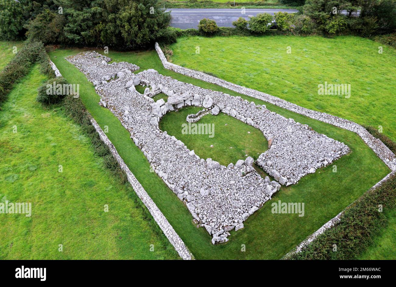 LisheenFairy fort / stone ringfort · 686 yd
 bridgebridge · 871 yd
 Creevykeel Court TombNeolithic court tomb · 957 yd
 Classiebawn WoodsWood · 1471 yd
 Trawalua StrandBeach / strand · 1.1 mi
 Unbaptised Children MonumentMemorial · 1.2 mi
 assassination of Louis Mountbatten, 1st Earl Mountbatten of Burmaassassination · 2.0 mi
 Mullaghmore HeadVisitor information · 2.4 mi
 Wild Atlantic Way: Mullaghmore HeadVisitor information · 2.4 mi
 BenwiskinMountain / peak · 3.3 mi