What is recorded here
That is the name written for the place. What the name and saved shape record is a separate question.
In pasture, on break in W-facing slope. Ovoid area (52m N-S) enclosed by dry-stone stone wall (ext. H 1.54m), heavily masked by vegetation cover. Gaps in wall at W (Wth 7m) and SSE (Wth 4.9m). Noticeable dip (D 0.25m) immediately inside gap at SSE. Interior littered with heaps of earth and stone, particularly in N half. Field boundaries abut at W and N with boundary to SE removed since 1923 OS 6-inch map.
Compiled by: Denis Power
Date of upload: 26 August 2011
The monument record does not grant public access. Check the route and ask the landowner before entering private land.
- What survives
- Recorded monument
Places near here
 IndicatedEnclosure · 696 yd
 Stewick Housecountry house · 1293 yd
 Ballindeel Houserectory/glebe/vicarage/curate's house · 1430 yd
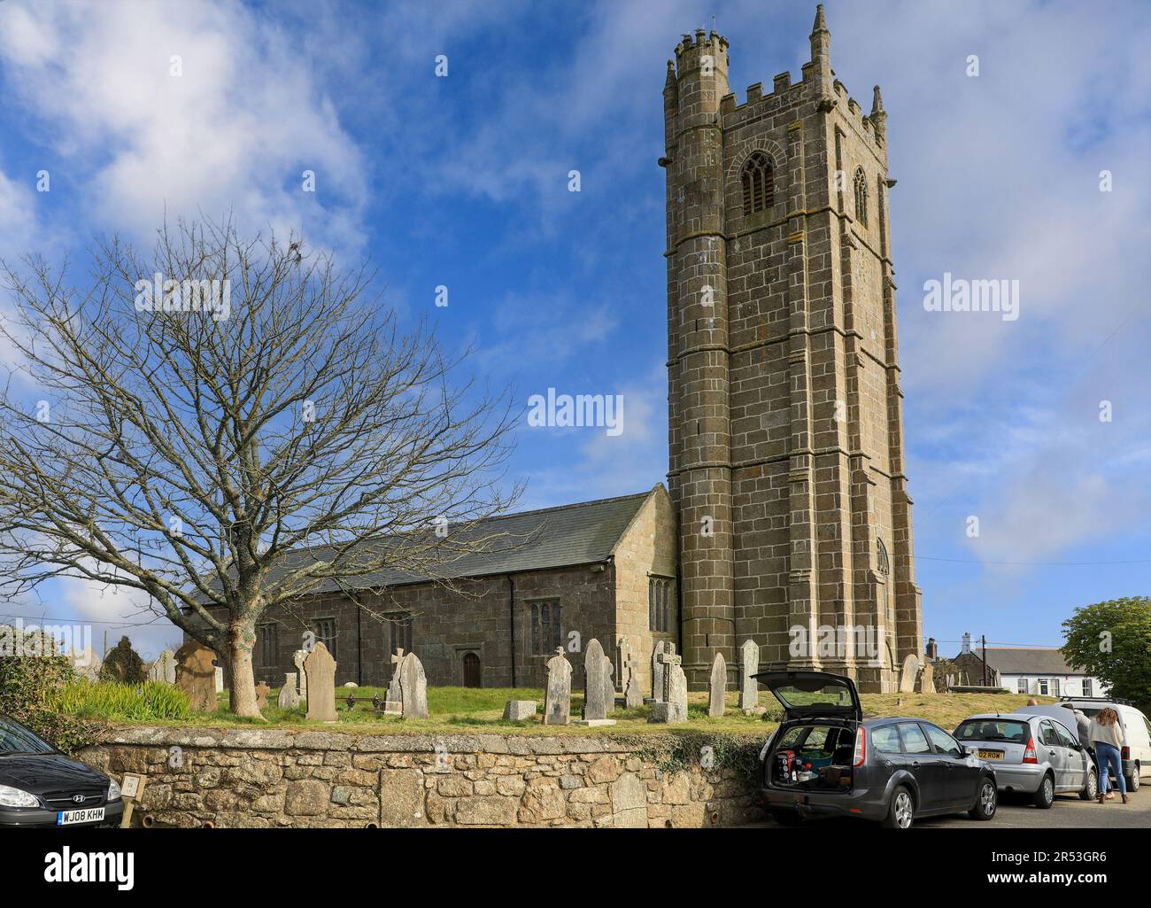 Grave YardGraveyard · 1691 yd
 Askeaton CastleHeritage attraction · 1.1 mi
 Milltown Castle (in ruins)Castle, tower house · 1.8 mi
 Lismakeery Castle (in ruins)Castle, tower house · 2.3 mi
 Holly IslandIslet · 2.9 mi
 Little HeavenHeritage attraction · 3.2 mi
 European YewEuropean Yew · 3.4 mi
 Flat cemetery in CroaghFlat cemetery · 4.4 mi
 Herring RockNamed rock · 4.8 mi