What is recorded here
Mortons and others may have lived there before the fort disappeared under scrub. The fort is a cashel in Cragard, County Clare, not a passing fantasy. Its stones resisted measurement for a time because the land itself withheld them. What the area concealed, it later returned.
In a low-lying area of dense scrub. Hachured as a circular enclosure (diam. c. 25m) only on the 1920 ed. of the OS 6-inch map. Described by Risteard Ua Cróinín in 1998 (pers. comm., SMR file) as an almost levelled stone fort (int. diam. 22m) it was inaccessible because of the dense growth when inspected in 2004. The area was cleared between 2006 and 2012 (OS MapGenie orthophoto) and the remains of the cashel became more visible. Another enclosure (CL026-198----) lies c. 14m to the SE. Two earthworks (CL026-036001- and CL026-036002-) c. 70m to the W and c. 90m to the SW in Carrowdotia townland, also hachured on the OS 1840 6-inch map, were excavated in advance of the M18 but no structural remains were found.
Compiled by: Michael Moore and Mary Tunney
Date of upload: 17 November 2025
The monument record does not grant public access. Check the route and ask the landowner before entering private land.
- What survives
- Recorded monument
Places near here
 Enclosure in Drumquin (islands By.)Enclosure · 1155 yd
 Enclosure in BallyoganEnclosure · 1535 yd
 Kilraghtis ChurchChurch · 1571 yd
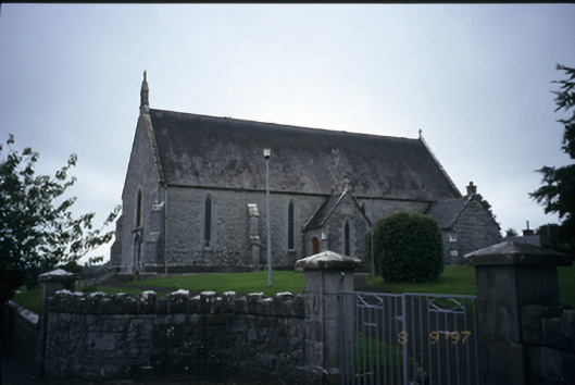 Catholic Church of the Immaculate Conceptionchurch/chapel · 1.1 mi
 CastleCastle, ringwork · 1.4 mi
 Dromore WoodWood · 2.0 mi
 Dromore CastleCastle · 2.1 mi
 Ardcarney WoodWood · 2.3 mi
 Mulkere MemorialMemorial · 3.1 mi
 Battle of TullyodeaBattlefield · 4.1 mi
 Ennis AbbeyMuseum · 4.2 mi
 Clare MuseumMuseum · 4.3 mi