
What is recorded here
On a SW-facing slope in pasture. A subcircular enclosure (diam. c. 25m) defined by low earthen banks. Visible on Google Earth (Imagery date: 10 Feb 2021). Contemporary field boundaries abut the enclosure at W and NW.
Compiled by: Mary Tunney
Date of upload: 12 July 2023
The monument record does not grant public access. Check the route and ask the landowner before entering private land.
- What survives
- Recorded monument
Places near here
 Kilraghtis ChurchChurch · 795 yd
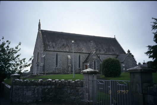 Catholic Church of the Immaculate Conceptionchurch/chapel · 1356 yd
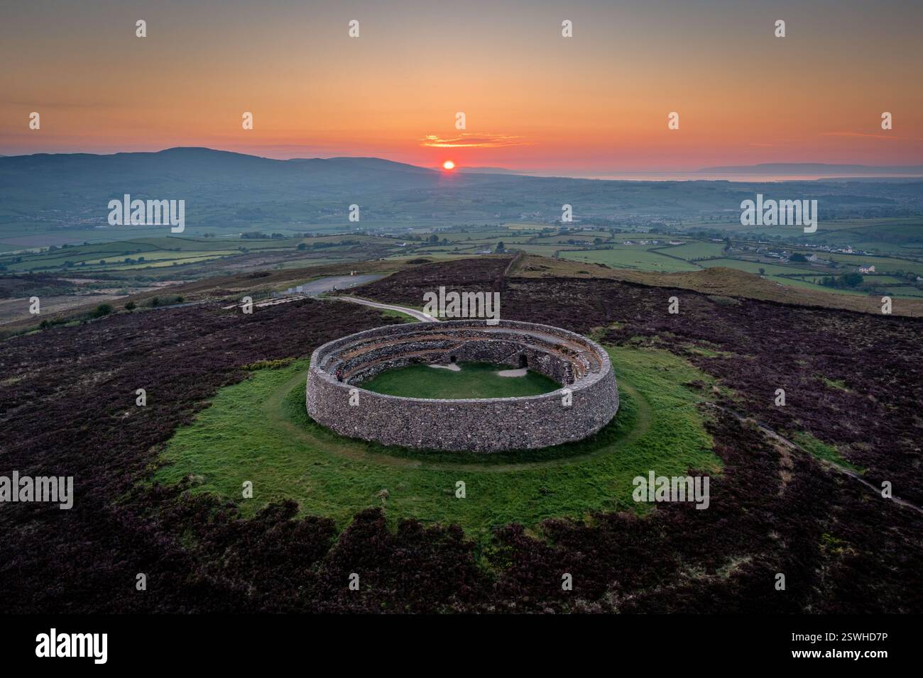 Cahereiny FortFairy fort / stone ringfort · 1465 yd
 Enclosure in Derry (bunratty Upper By.)Enclosure · 1.3 mi
 Kilcatherine GraveyardWood · 1.8 mi
 CastleCastle, ringwork · 2.0 mi
 Castletown Castle (in Ruins)Castle, tower house · 2.1 mi
 Ardcarney WoodWood · 2.3 mi
 Mulkere MemorialMemorial · 3.7 mi
 Ennis AbbeyMuseum · 3.7 mi
 Clare MuseumMuseum · 3.8 mi
 Battle of TullyodeaBattlefield · 4.5 mi
Other information
Photo: Credit not shown in the picture search · Rights wording not checked; contact us if this picture should be removed