
What is recorded here
On a slight rise in low-lying landscape. Hachured as a circular enclosure (diam. c. 45m) on the 1840 ed. of the OS 6-inch map while a ‘Cave’ is named on the site on the 1920 edition. The enclosure is not visible at ground level, and trial-trenches on the foundations of a house in 1997 recovered no evidence of it (Hodkinson 1998, Licence no. 97E0294), however the Man-made underground passage (CL026-057002-) was uncovered in 2002 in the back garden.
Compiled by: Michael Moore and Mary Tunney
Date of upload: 17 November 2025
The monument record does not grant public access. Check the route and ask the landowner before entering private land.
- What survives
- Recorded monument
Places near here
 Enclosure in BearnafunshinEnclosure · 1546 yd
 Abbey (in ruins)Religious house, Augustinian canons · 1599 yd
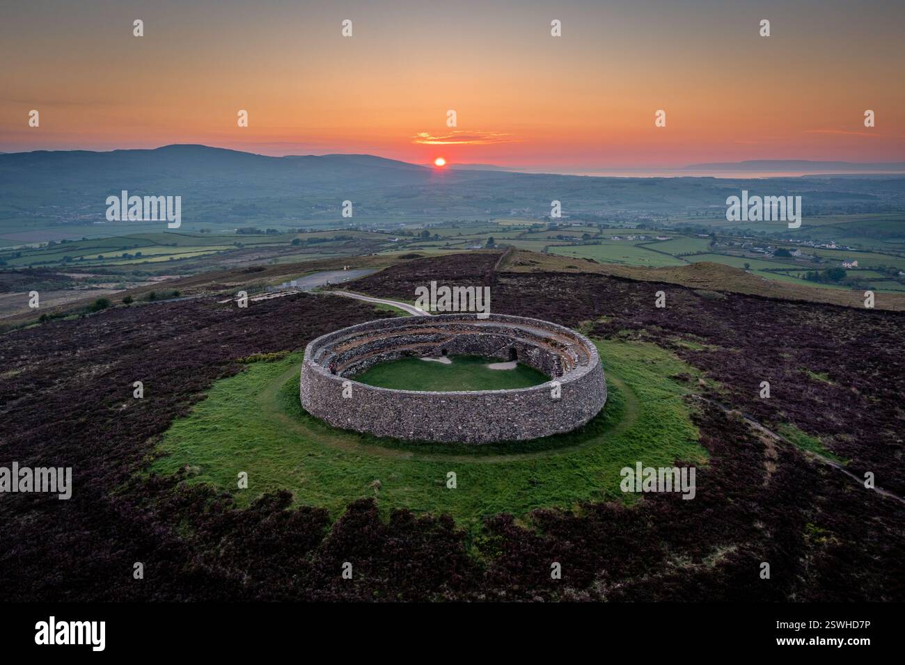 Cahereiny FortFairy fort / stone ringfort · 1697 yd
 Kilraghtis ChurchChurch · 1.1 mi
 O'Brien's CastleCastle · 1.6 mi
 Castle (in ruins)Castle, unclassified · 1.6 mi
 Derrymore WoodWood · 2.2 mi
 Mulkere MemorialMemorial · 2.4 mi
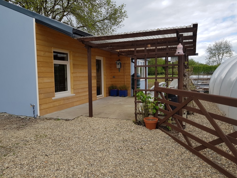 Dromore WoodWood · 2.5 mi
 Battle of TullyodeaBattlefield · 4.5 mi
 Ennis AbbeyMuseum · 5.0 mi
 Clare MuseumMuseum · 5.1 mi
Other information
Photo: Credit not shown in the picture search · Rights wording not checked; contact us if this picture should be removed