What is recorded here
No visible fort remains in Cragard, Carrowdotia. What is left is a shallow stone spread, a few facing blocks and a boundary wall crossing the NE part of the circle. The fairies may have taken the rest, or men may have simply taken the stones for their own walls.
On a N and NW slope in fertile pasture with views mainly confined to the W. Hachured on the 1920 OS 6-inch map. A circular area (int. diam. 23m N-S; 20m E-W) defined by a stone spread (Wth 4-6m; int. H 0.2-0.6m; ext. H 0.6-1.2m) with some inner and outer facing stones (dims. 0.4m x 0.7m; H 0.3m) NNE-E (Wth of wall 1.6-1.8m), and at W. A drystone wall (the townland boundary with Craggard) overlies the NE part of the interior. Faint traces of an outer enclosing element are visible on OS MapGenie orthophotographs (2006-2012).
Compiled by: Michael Moore and Mary Tunney
Date of upload: 17 November 2025
The monument record does not grant public access. Check the route and ask the landowner before entering private land.
- What survives
- Recorded monument
Places near here
 Enclosure in Drumquin (islands By.)Enclosure · 944 yd
 Kilraghtis ChurchChurch · 1423 yd
 Enclosure in BallyoganEnclosure · 1673 yd
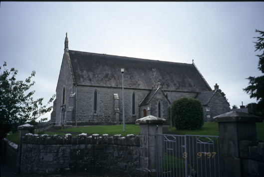 Catholic Church of the Immaculate Conceptionchurch/chapel · 1718 yd
 CastleCastle, ringwork · 1.5 mi
 Dromore WoodWood · 2.1 mi
 Dromore CastleCastle · 2.2 mi
 Ardcarney WoodWood · 2.3 mi
 Mulkere MemorialMemorial · 3.2 mi
 Ennis AbbeyMuseum · 4.1 mi
 Battle of TullyodeaBattlefield · 4.1 mi
 Clare MuseumMuseum · 4.2 mi